Browsed by
Month: March 2020

Q News – March 31, 2020
Stone Hill Sculpture Park

Q News – March 31, 2020
Stone Hill Sculpture Park

Hi Tramps,
My husband, dog Rosie and I went to Stone Hill Quarry Sculpture Park today.  We roamed around and caught part of the NCT (North Country Trail) which if taken the distance would land one in Canastota.  We discovered other sections of the park which we had not seen before.  There are some beautiful views from the several vistas at the park.
Stay Healthy and grateful!
Sharon H

Q News – March 26, 2020

Q News – March 26, 2020

Day 6 of quarantine. Went for a walk while they were doing work on my car. These are pics of the walking path that goes from McCraith’s beverages to the old Ramada Inn – Jim took you all on it sometime in the last year.


After the Halloween flood, I thought it was the bridge that was out, but the flood totally erased part of the path! You can still get from one end to the other, but have to go almost thru the woods at one point. It was amazing to see what the power of water can do, and from such a little stream.


The birds were out tho’ and at one point the spring peepers, my fav sign of spring, were very vocal. It was a beautiful day for a walk. Then Mary Pat and I walked her triangle that we did that one New Year’s Eve – keeping our distance by walking on opposite sides of the road. Just didn’t want to go in! Hope you are all well and keeping in touch by phone, facetime or Zoom. Miss everyone!

Lu Blanchard

Q – News March 24, 2020

Q – News March 24, 2020

Neals Gulf Rd.
Tributary of Sauquoit Creek
Neals Gulf Rd.
The hill that will hopefully keep me in shape for summer hiking.     MPConnors
Nice view of the valley atop Neals Gulf Rd.
Q NEWS – March 23, 2020

Q NEWS – March 23, 2020

Valley View Switchbacks

Flock of birds along Valley View that didn’t get the social distancing alert.
Bobbie Scarpino

Valley View Switchbacks

Saw these on the switchbacks today. Do you follow the toes or the arrows???
Bobbie Scarpino

We hiked the hill first and then tried skiing one last time. Good as long as we didn’t stop. Then stuck like crazy.

NV and PD

Q NEWS – March 22, 2020

Q NEWS – March 22, 2020

Canal Trail toward Little Falls

Signs of spring; hikers and a 1905 old bridge support being reused on a new Creek bridge on the newer part of the trail toward Little Falls. Nice day in the sunshine with socially distant Tramps.
Dianna Morris

A small group of us met Sunday, March 22, to walk the Canalway Trail from Old Herkimer Church, off of Rt. 5S, towards Little Falls, while keeping well beyond the recommended social distancing. Flat, easy walk with each choosing the distance we wanted to go. All of us went past the lock and then some before turning around, so minimum was 7 miles. We encountered a few others on the trail, also practicing social distancing.
Bobbie Scarpino

Canal Trail toward Little Falls

Jackson Hill

L. and I hiked 5 miles today in nice sunny conditions. Trail was icy and snow-covered and we needed poles and microspikes. Going out the snow was hard but later turned mushy. There’s our group photo, some major blowdown and a lot of small blowdown. Saw a couple of other hikers but kept our distance. For the most part nobody on the trail. Went by Pixley Falls, crowded with people as was the Griffiss hiking parking lot and the Oriskany Erie Canal lot. It was nice to do a hike different than around our house, however it was kind of boring without the Tramps.
The Waz’s

Jackson Hill
Jackson Hill
Jackson Hill
Kane Mountain

Hi Everybody.Took a nice hike today on Kane Mtn. then Nine Corner lake.
Beautiful sunshine and a bit icy.
P. Gwynn

Middlesettlement Lake

A. and I hiked to Middle Settlement lean-to today.  We went to an old favorite by means of a new route.  We went in via Copper Lake Rd.   There was some crusty snow in the morning and by afternoon it warmed up enough to become slushy.  The beavers have been very busy cutting down trees.  There were many fresh-downed trees.  We passed a couple with a dog going to Pine Lake.  Sitting in the sun at the lake was very relaxing.  A good day!
S. Kaelin

Middlesettlement Lake
Parkway switchbacks

We hiked up the ski slope and did the loopbacks. Nice sunny day but were surprised at how few people were out.
The Fellows

Parkway switchbacks
Little Falls.
Shared by Tom and Nancy Schenck.
Hubbardsville
Patricia Durnin and I finally found the waterfall just off Bailey Rd outside of Waterville.
It’s up the hill behind my house.
N. Vleer


Q NEWS – March 21, 2020

Q NEWS – March 21, 2020

Welcome to the first edition of Q NEWS!

The good news is we are still getting out hiking and walking.
We cannot see our fellow tramps in person so this is a way to connect and share
our experiences.

Jackson Hill

Enjoyed a hike on Jackson Hill. We were totally isolated from anyone. A beautiful day!
The Fellows

Jackson Hill
Moose River Mountain

Trail was frozen and spikes worked great most of the way to the mountain. Coming back, the sun had warmed up the trail enough that we sank in the snow a bit more. Nice to be out and when we weren’t too noisy crunching on the snow, we could carry on conversations while maintaining correct social distancing.
Dianna Morris

Officially Tramp “unsanctioned” from the trip schedule several days ago, I managed to lead an impromptu hike to both Moose River and Quarry Mountains. Carolyn Eastman, former cocktail queen, now corona virus czar, kept Dave Kuhn and I socially responsible while hiking on this cool, sunny day. For added security and distance management, we did deep breathing exercises and chewed garlic cloves.
Using micro spikes on a hard packed surface, we made decent time to the tower summit. Following lunch, we bushwhacked to the sister summit, whose east side is a steep gradient. Despite the tree line we found a nice view of McCauley Mt. Circling around the twin peaks, we eventually intersected the trail below the tower summit. Evidently, we missed a group of five tramps also climbing on this gorgeous day.
Roughly a mile from the car, we whacked our way through open hardwoods to an unnamed peak – locals call it Quarry Mt.- to its large rocky summit cone. There are outstanding views of McCauley Mt., Moose River Mt., Blue Mt. as well as the vast Adirondack landscape. At the car by 3:30, the group had hiked 9 miles in about 6 hours.
Paul Sirtoli

On Saturday, March 21, 5 of us met at Mapledale and drove separately to the Moose River Mt. trailhead. Keeping well over 6 ft apart, we made our way to the top and back down for a distance of 6 miles. Trail was mostly well packed snow with a few bare spots. All but Greg wore microspikes! He likes the slip sliding! Another smaller group set out earlier than us to do a bushwhack after reaching the top of Moose River Mt. We saw their tracks, but never encountered them or anyone else. It was wonderful to be out in the sunshine. The sky was a brilliant blue. Russ asked what color blue it was. If I were to paint it, I would use cerulean with a touch of ultramarine blue. Nice to appreciate the things we often take for granted!
Bobbie Scarpino

Moose River Mountain

Some treats shared by Deb Cantales. The stuff of dreams!
Rights reserved by Deb Cantales.

6969 – Deansboro Revisited
March 8, 2020

6969 – Deansboro Revisited
March 8, 2020

A bright sunny day, temps in the 50’s, a 1:00 pm start on a Sunday and the Tramps came out in droves! We had 44 sign in and we proceeded to divide into 2 groups for a “timed” hike.

Group 1, lead by George were to take a relatively flat hike down the Old Railroad bed for as far as they could go in 1 hour. After one hour they would turn around and hike back. 

Meg’s group was to trek up West Hill the hard way… through green fields, fields with corn stubble and “Bessie’s finest,” woods, snow, mud, slush and streams. Meg had gotten permission from the owner to cross the posted land. We saw a number of the obstacles set up for the Deansboro Mud Run and all wished we were better dressed to try them out!! Almost to Green Vedder Road, the clock ran out on our hour and we turned around to slip and slide back to Deansboro and “the Boro.” 

6968 – Little Woodhull Lake/Lake Lily
March 7, 2020

6968 – Little Woodhull Lake/Lake Lily
March 7, 2020

Write-up: Paul Sirtoli
Leader: Paul Sirtoli
Co-leader: Eric Boney


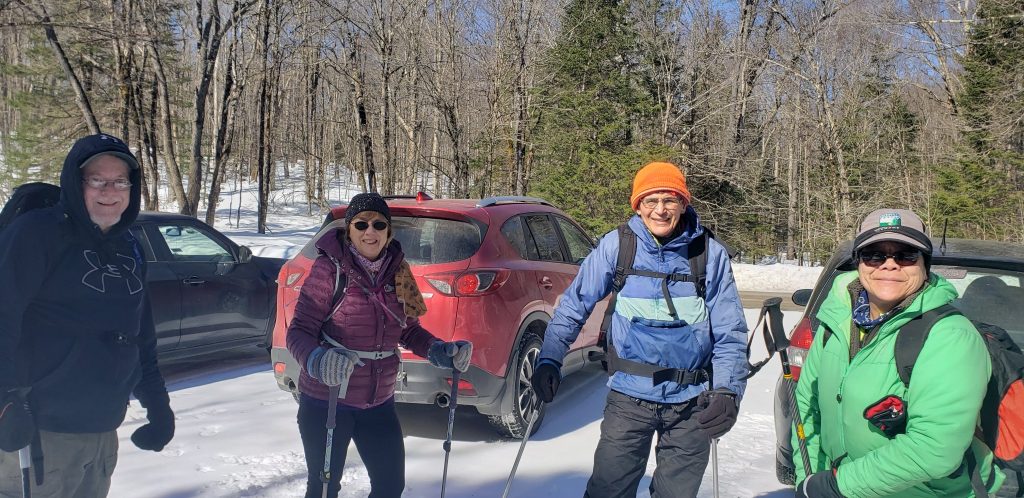
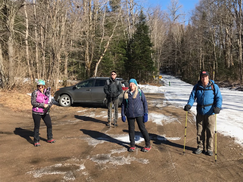
After [leading] my first successful Tramp hike, I had high expectations for this second adventure. My hopes were initially dashed when the co-leader failed to show up (apparently had his clock sprung ahead a day too early!), and one of the participants had non-functioning ski poles. And there I stood without the sign-in sheet. Thanks to Bobbie for coming to the rescue by making a temporary “affidavit” for all to sign and to Eric for volunteering to co-lead.

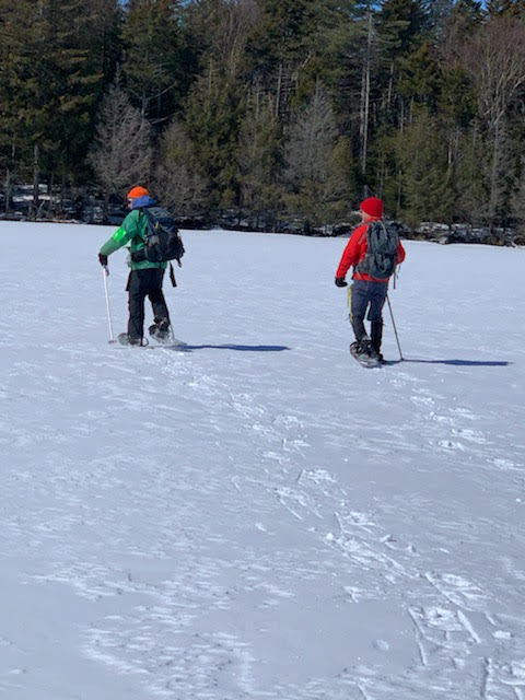
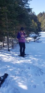
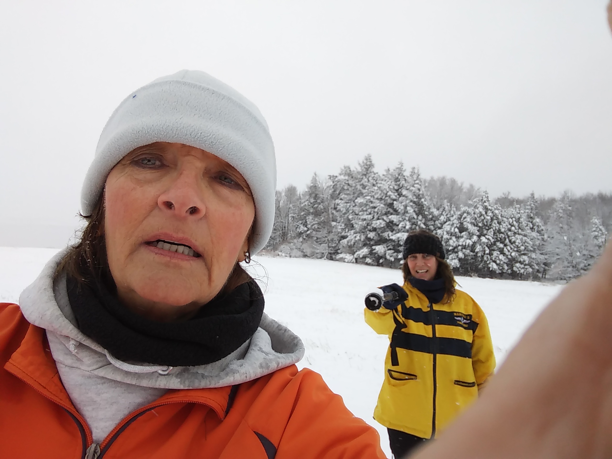
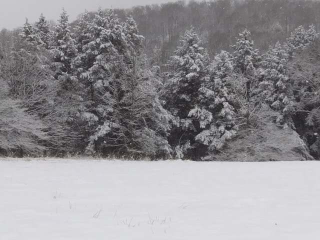
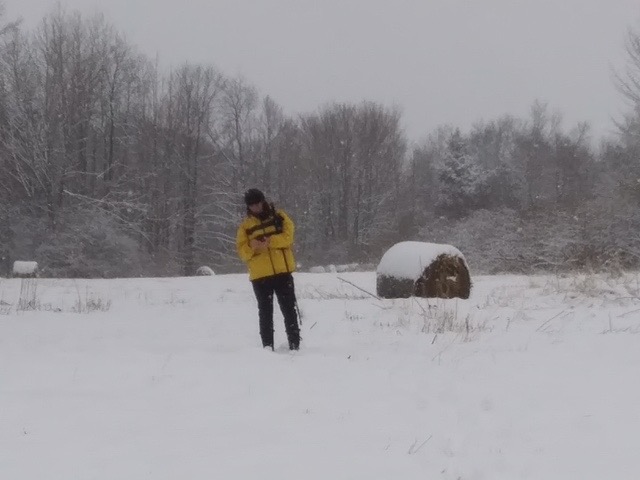
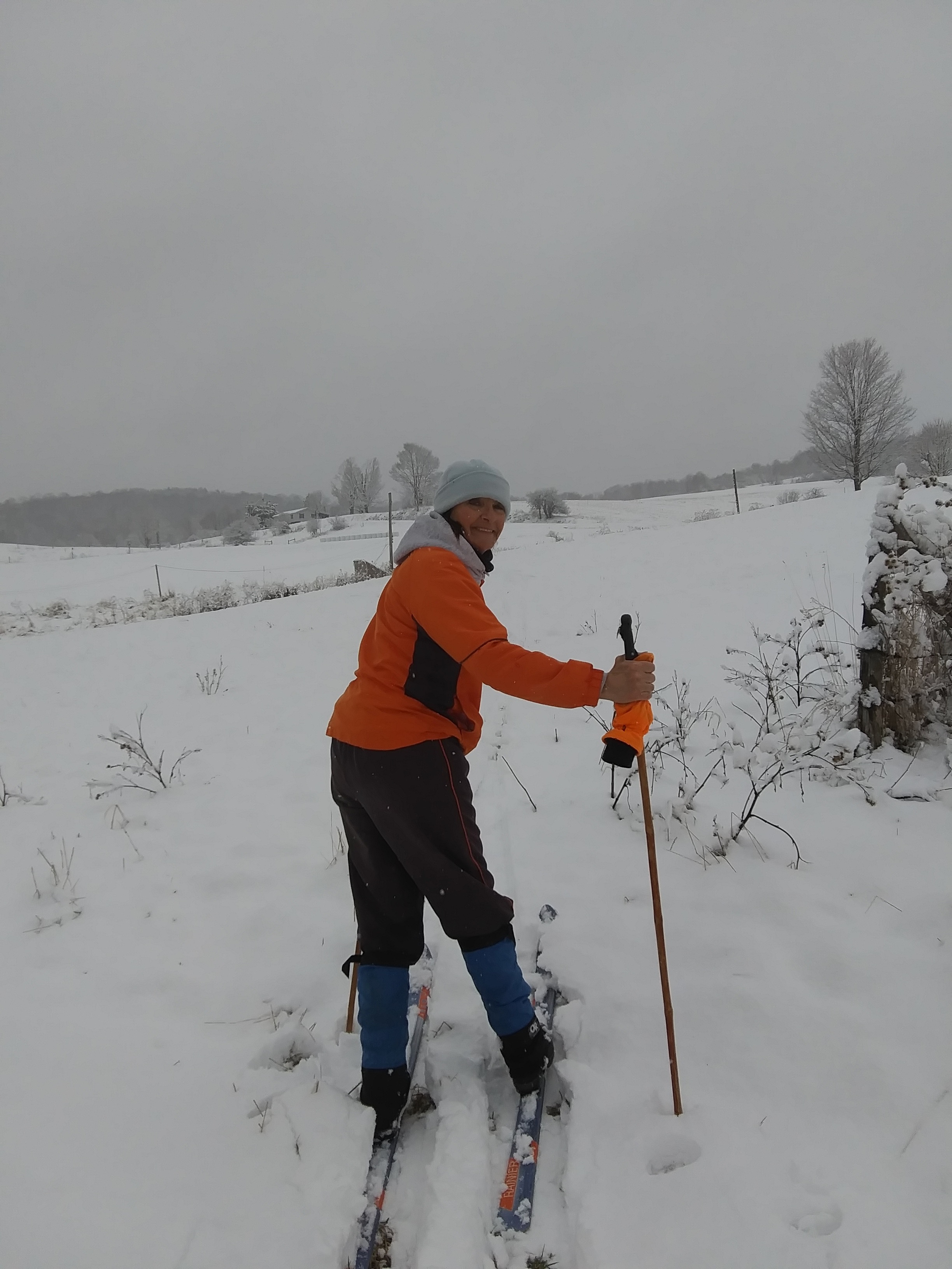
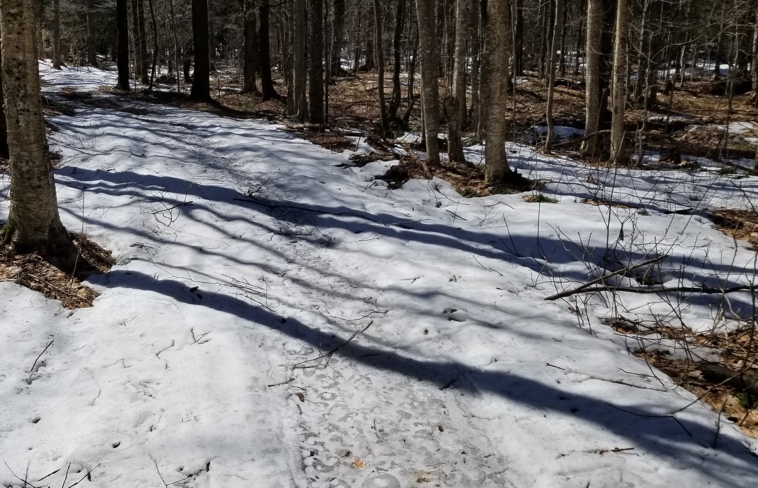
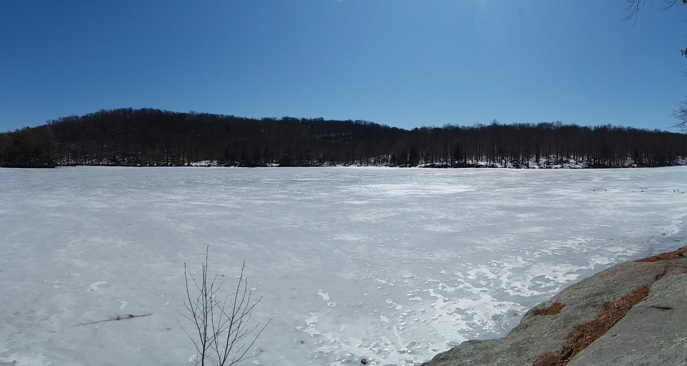
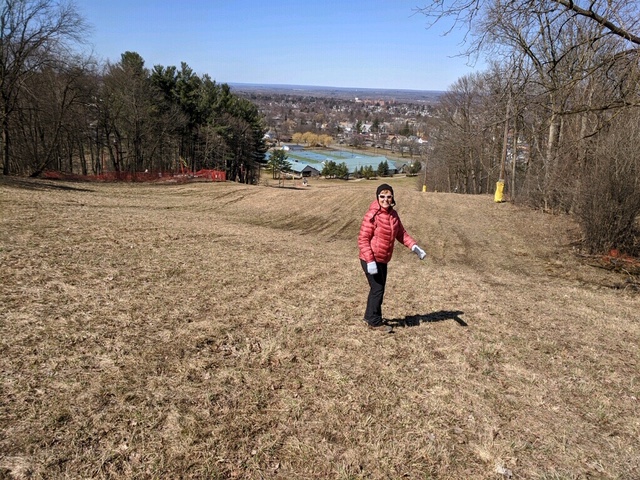
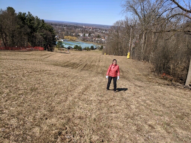
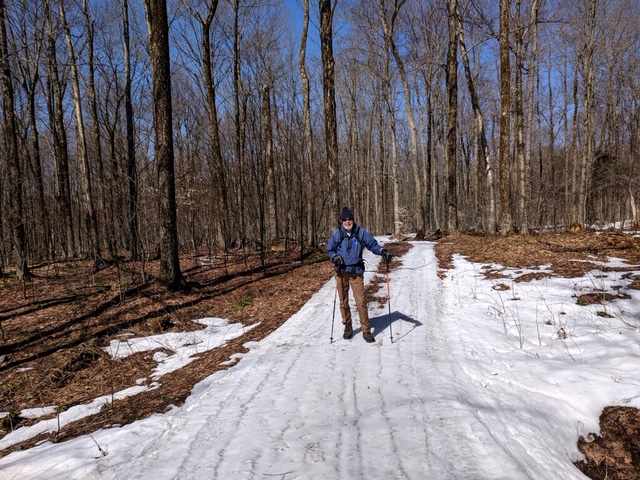
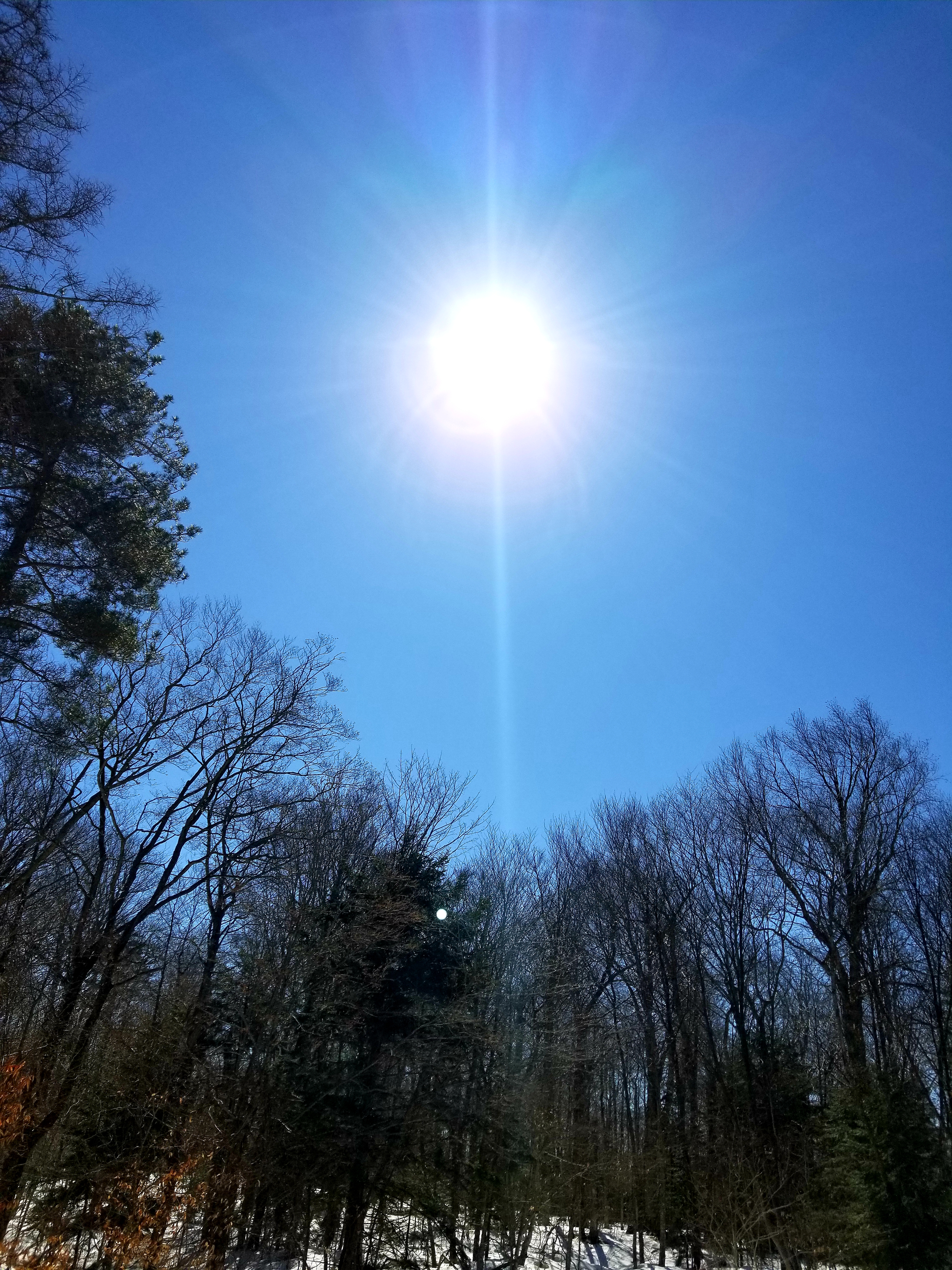
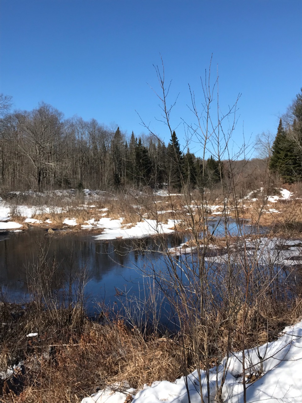
Despite the rocky start at Mapledale, the winter hiking god blessed us for the remainder of the trip, as the accompanying photos will reveal. Cool, crisp temperature hovering near freezing, brilliant sunshine in a sky true blue, and a solid snow surface for easy snowshoeing. Two hours into the hike saw us having lunch at the frozen edge of Little Woodhull Lake, mesmerized by the wintry landscape, as well as being cooled by a “whippin” wind howling across white frozen lake surface.

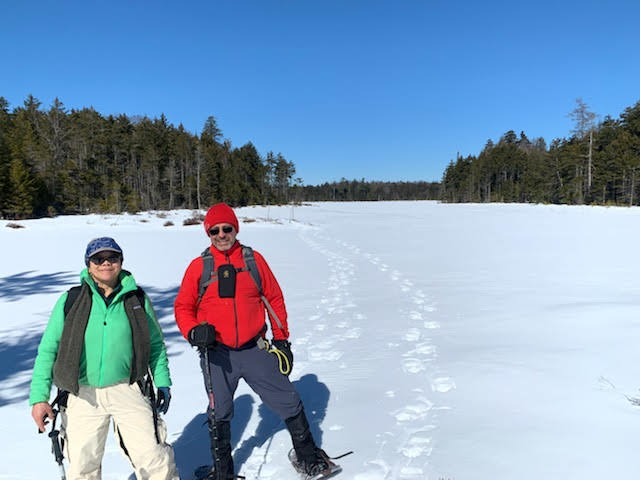
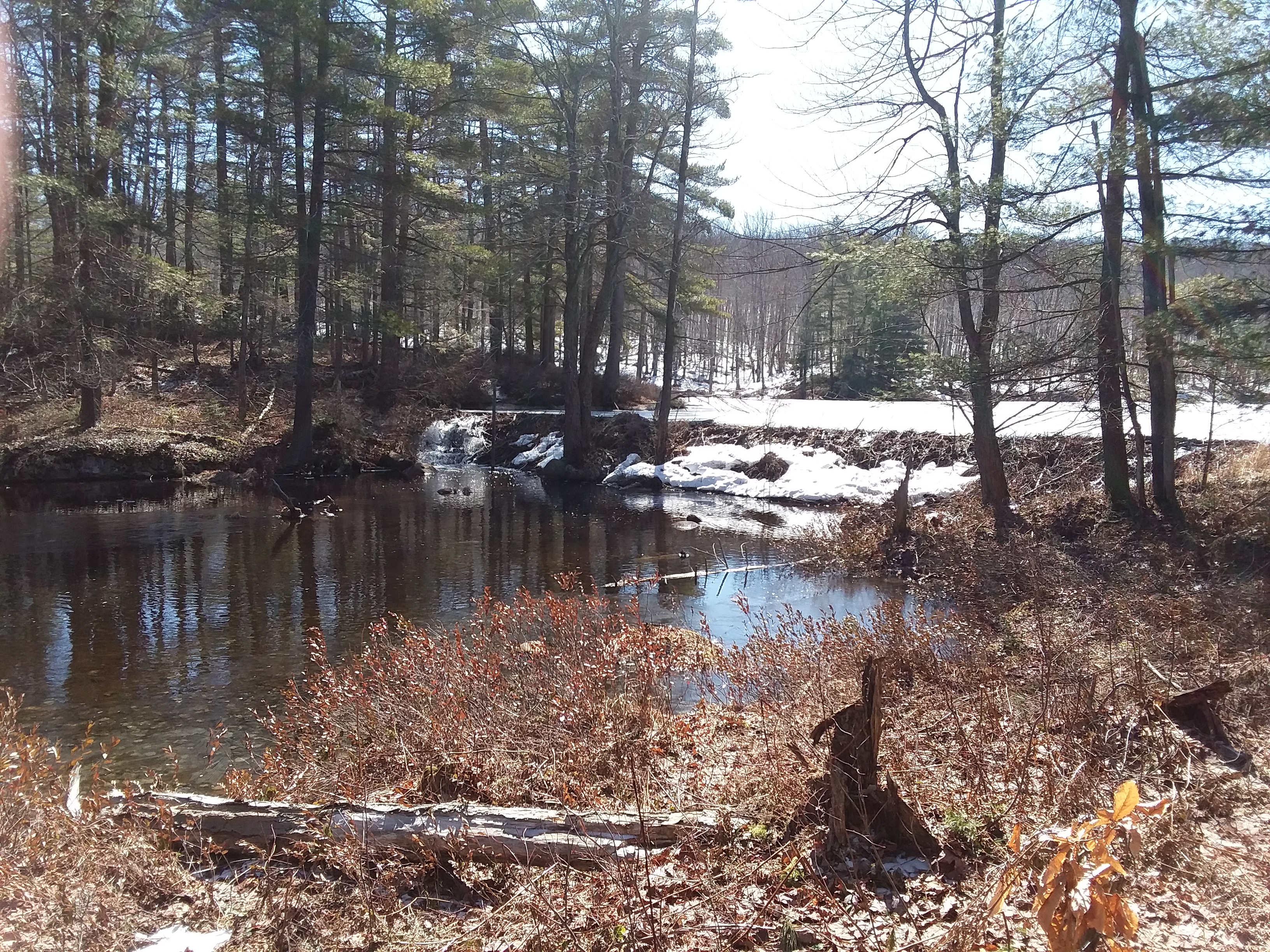
Eric and Bobbie opted to return to their vehicles after lunch, and with a hearty farewell, Mark, Chris, and I sauntered over the very solid frozen lake surface toward Lake Lily, roughly 0.5 mile distance. We wandered about the frozen expanse, eventually following its drainage onto Little Woodhull Lake.


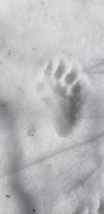
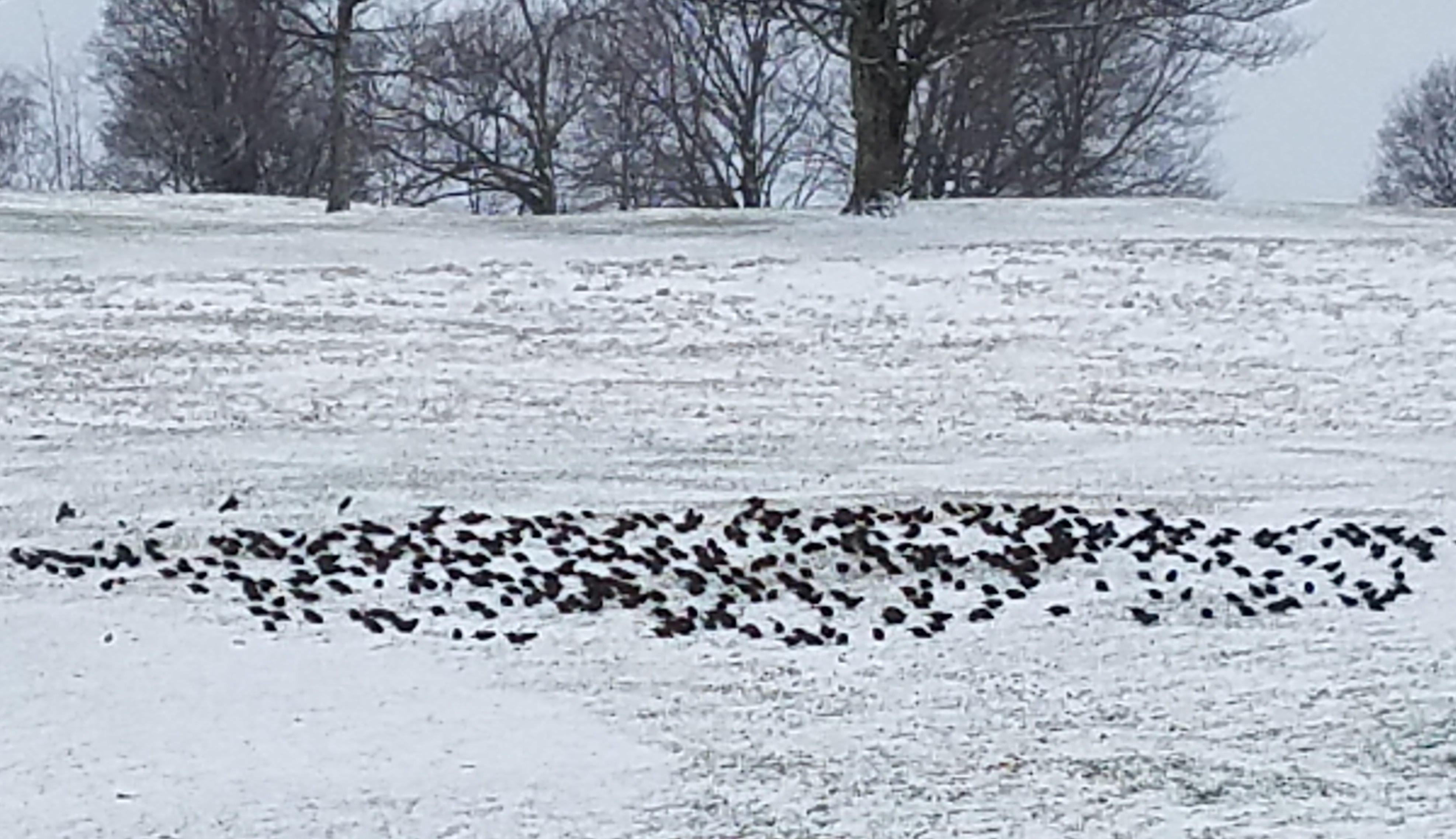
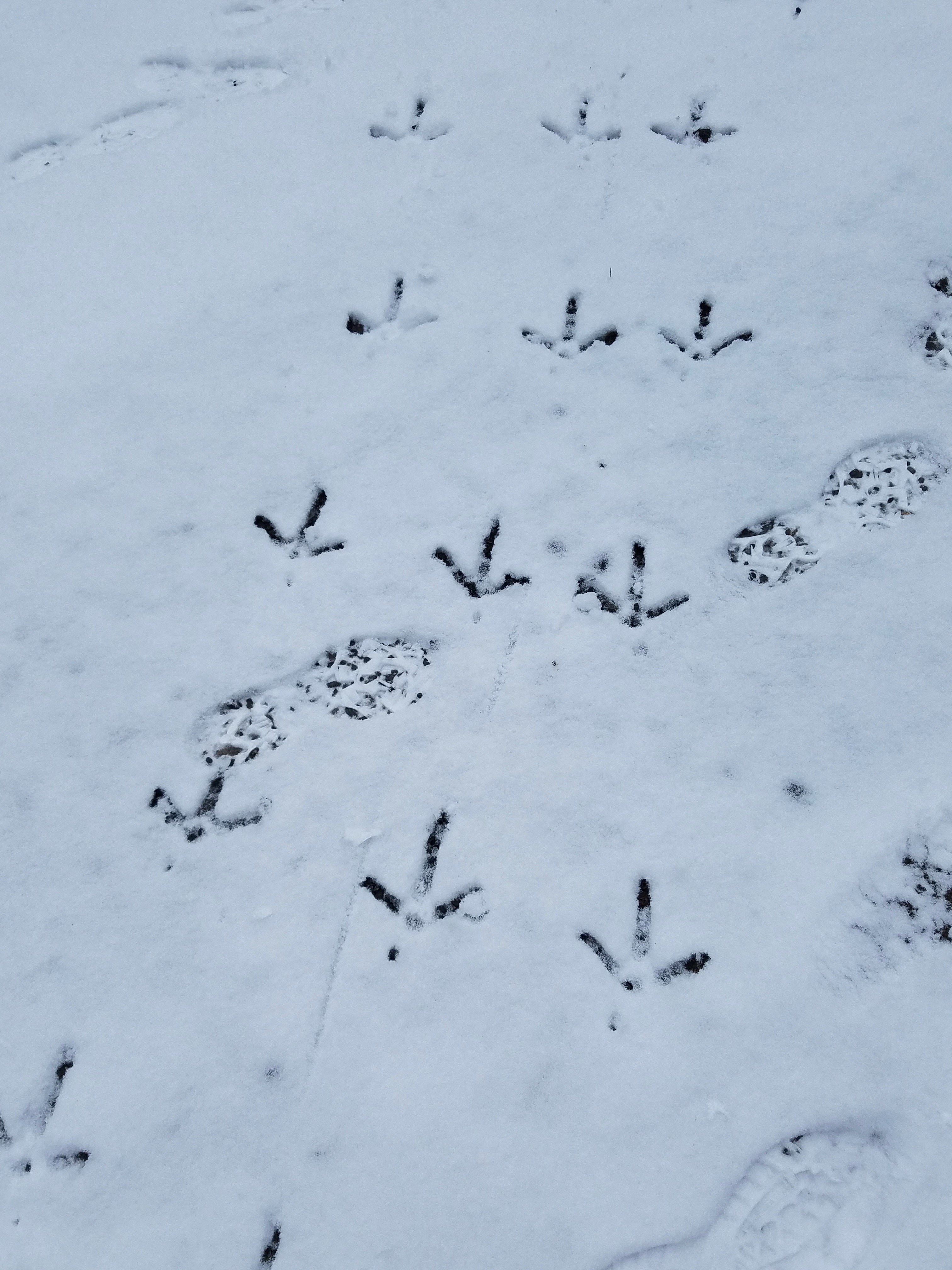
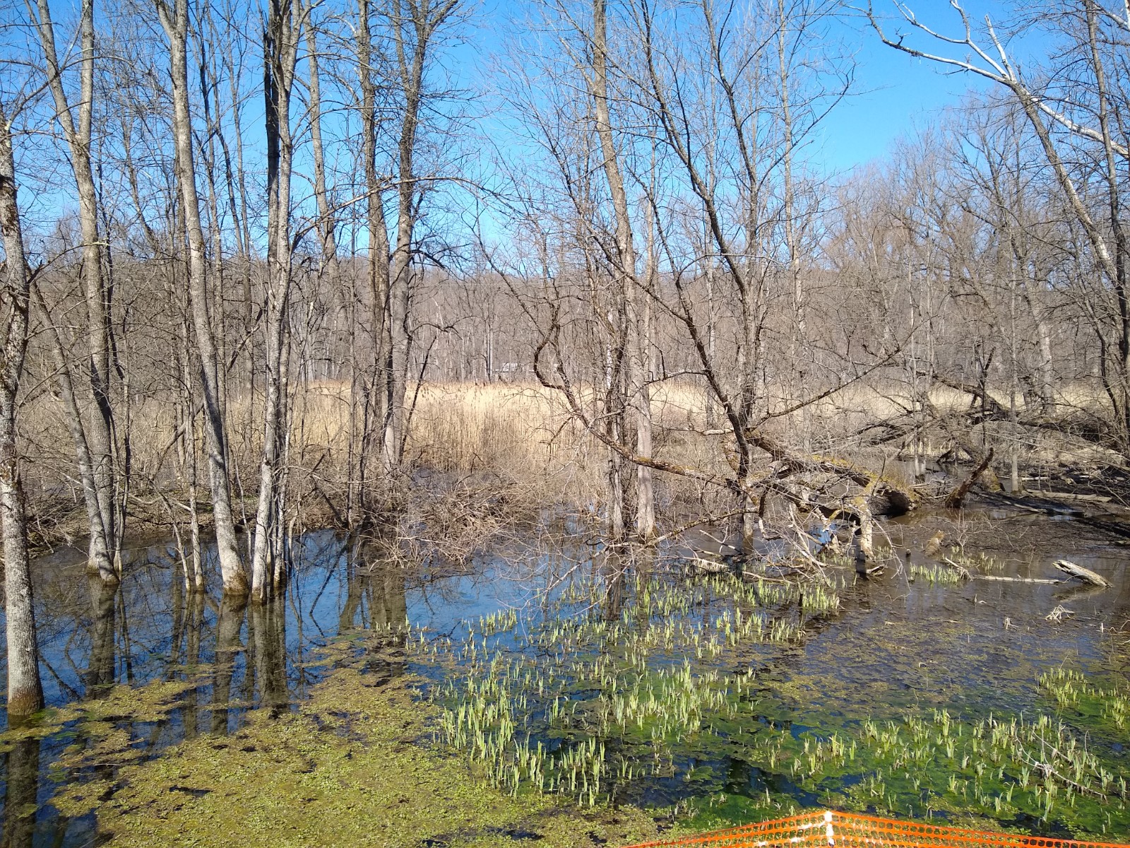
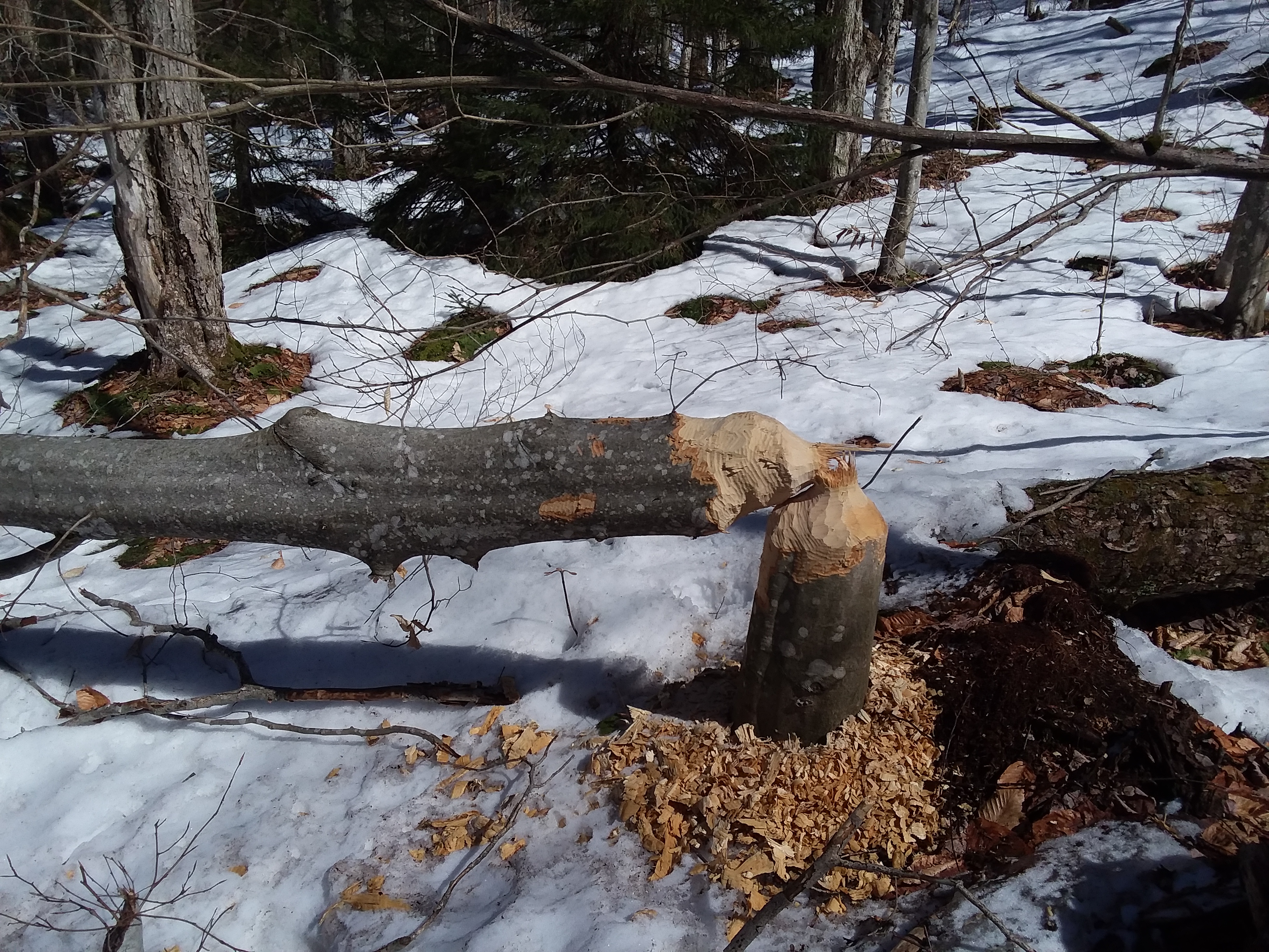
Crossing the lake at a safe distance from the Lake Lily drainage, we snowshoed the huge marsh meadow that comprised the Little Woodhull Creek watershed. Our attempts to identify the diverse animal footprints roaming about the frozen tundra challenged us all . . . a bobcat, mink, coyote, otter? Well, at least we knew the turkey tracks!

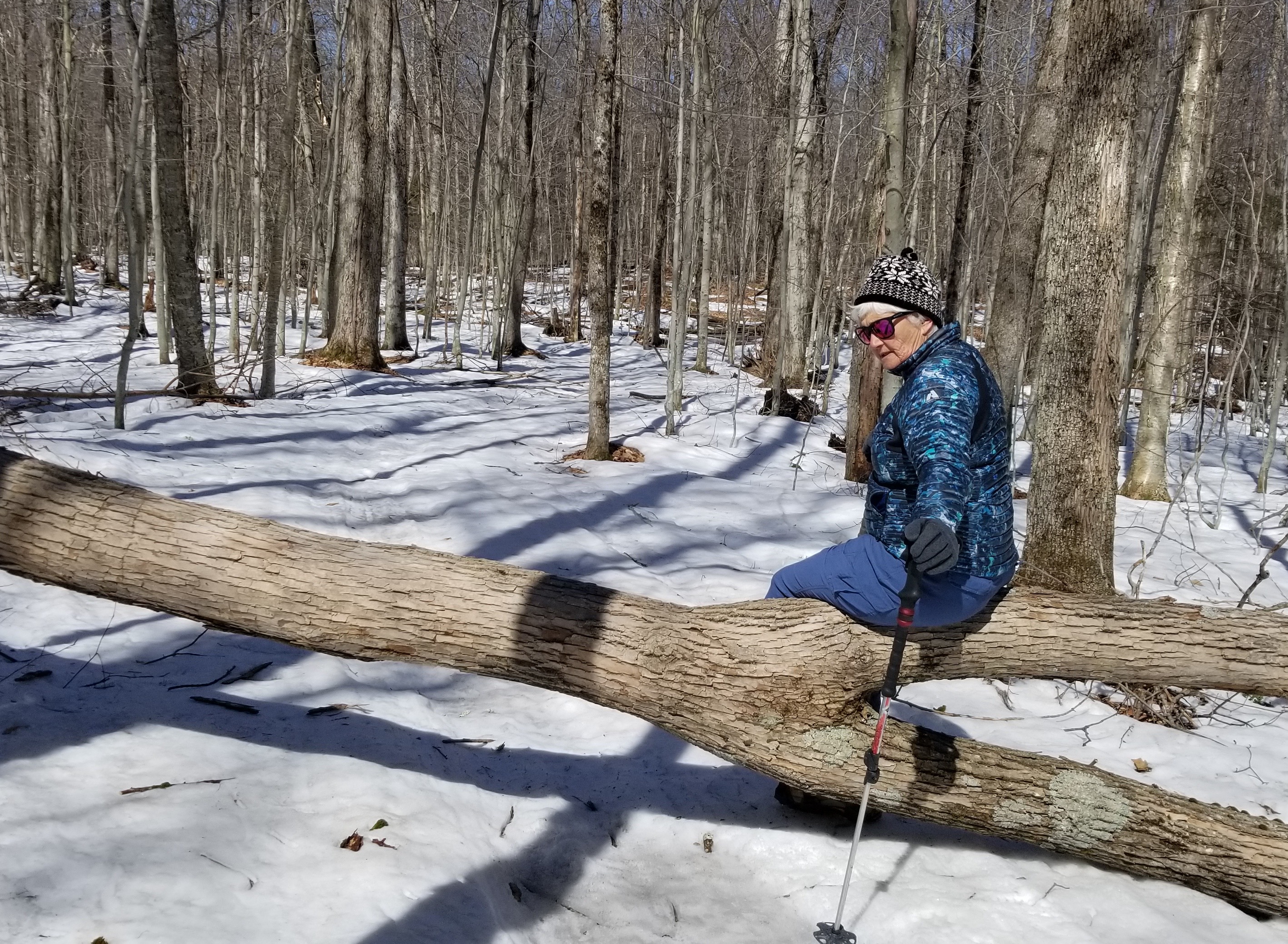
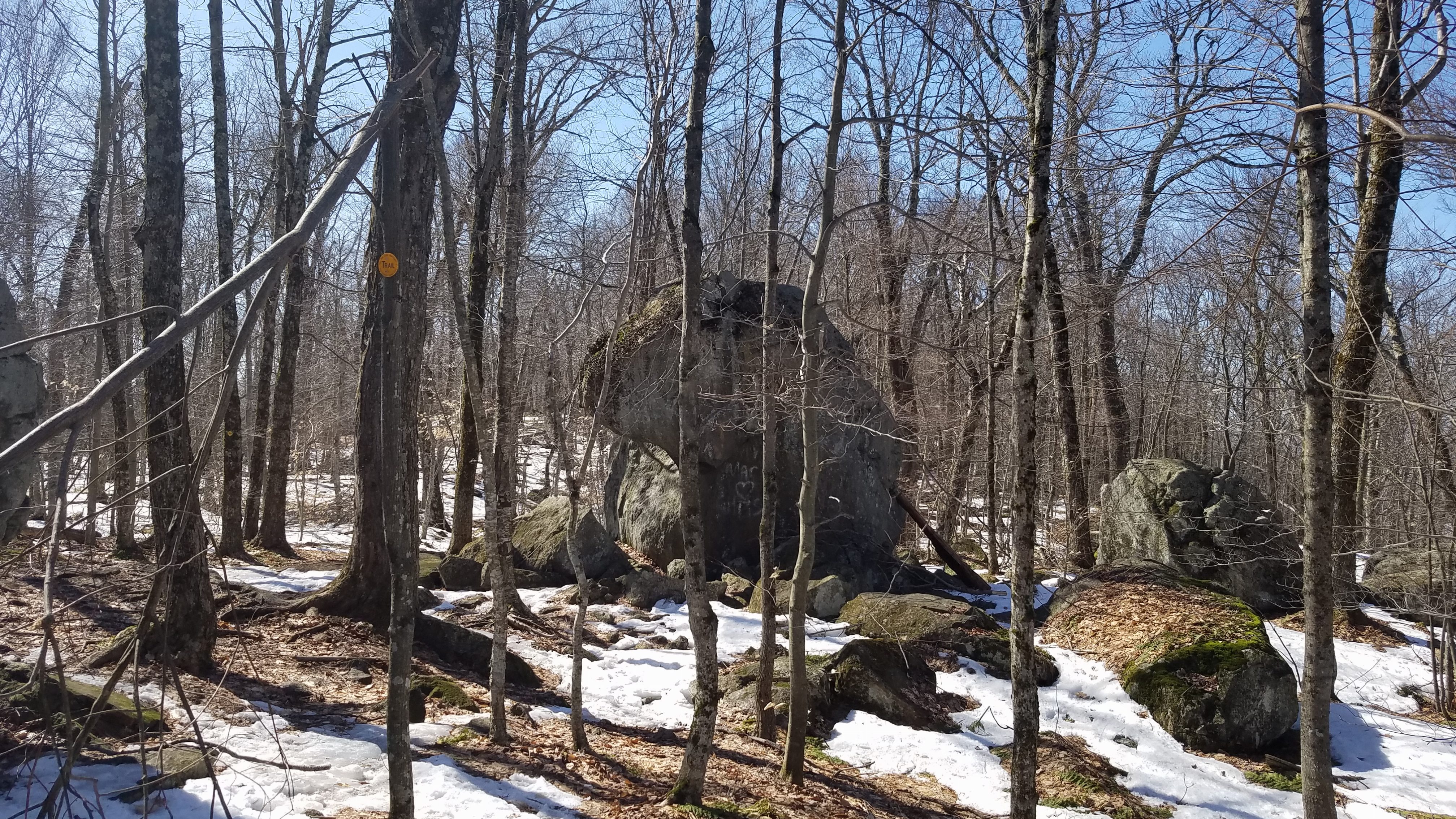
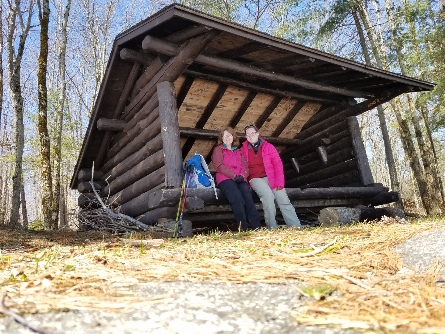
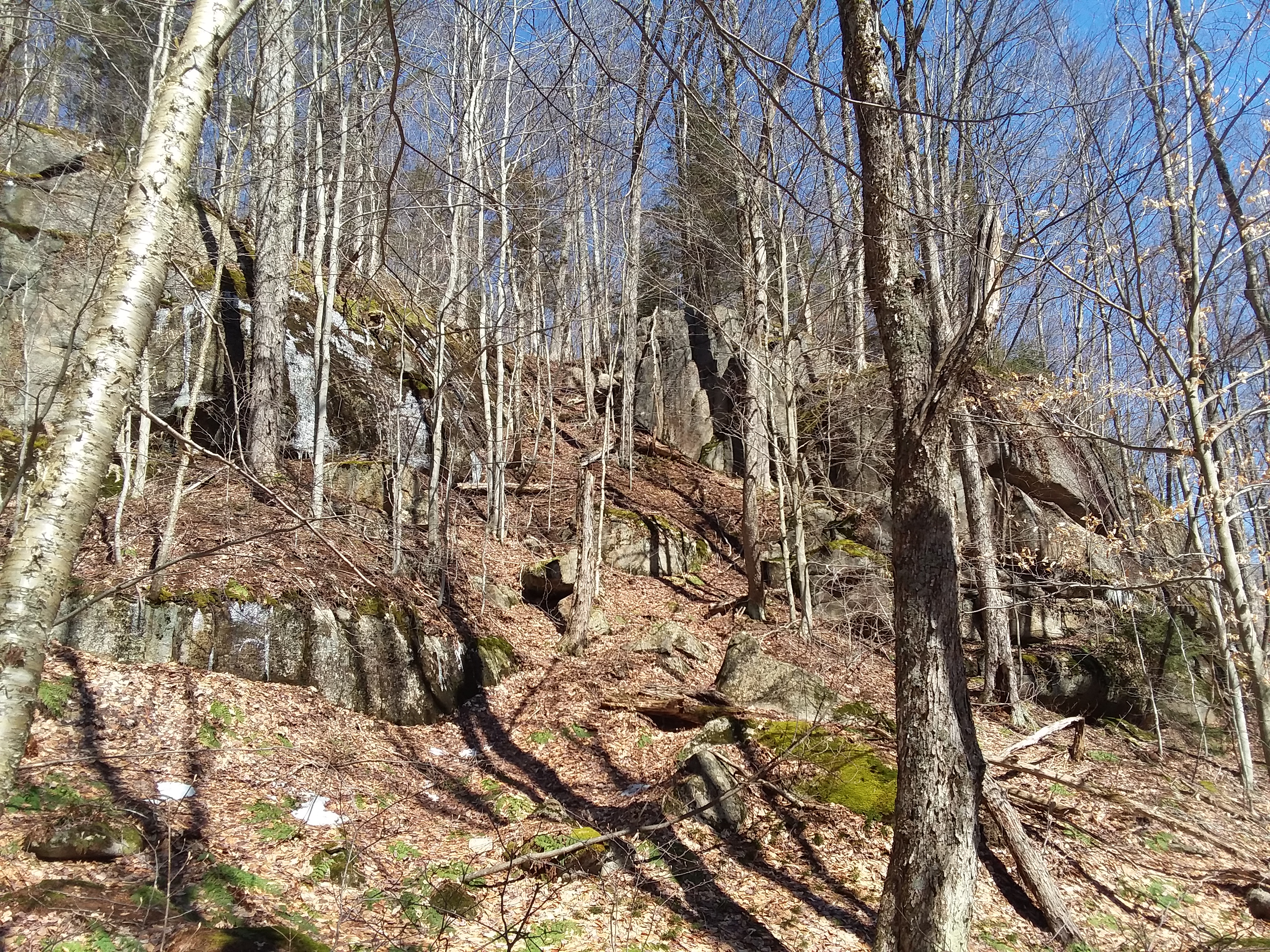
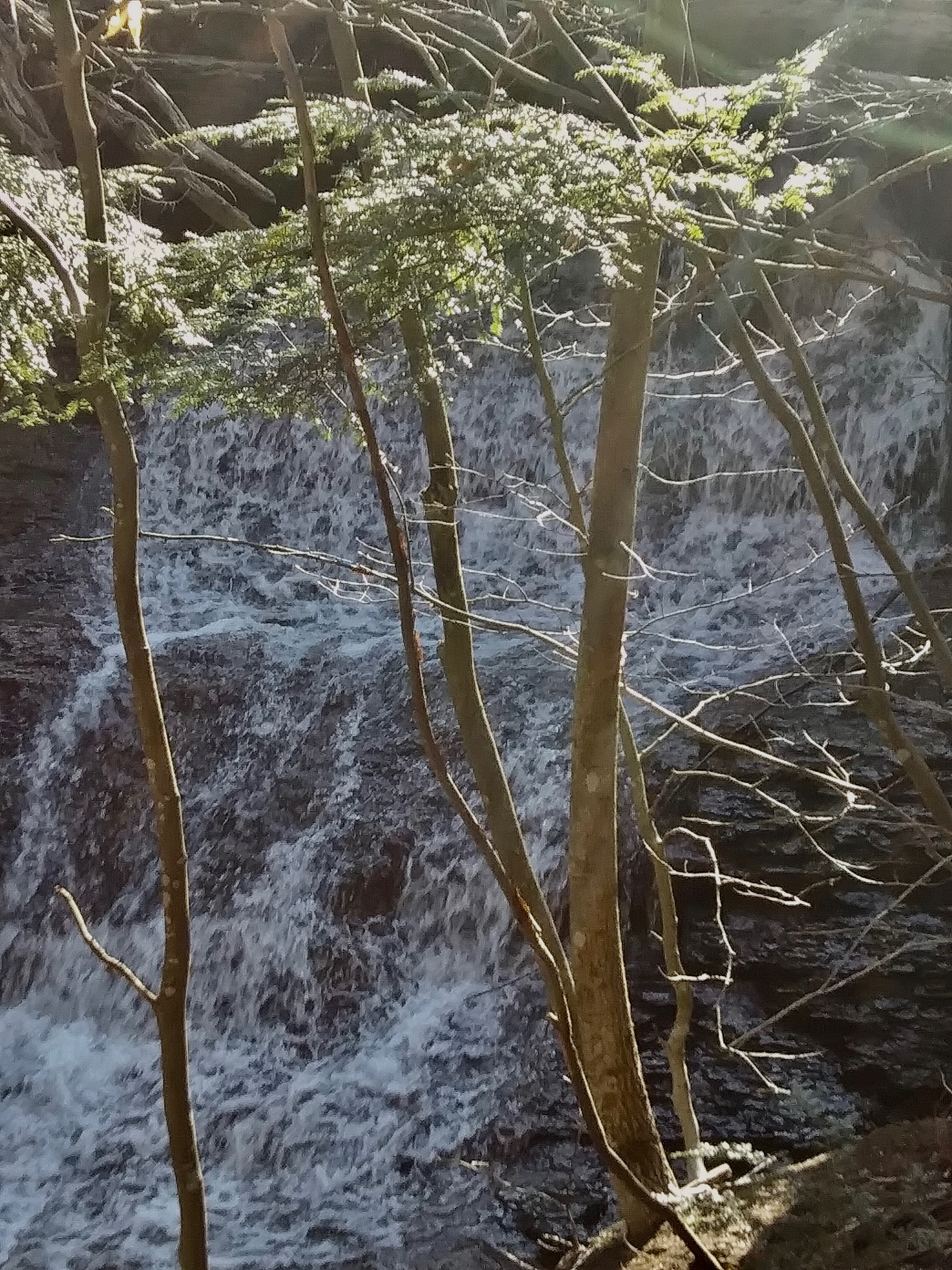
At the far end of the meadow, I set a heading for Otter Brook, and the yellow-marked trail just beyond it, a total distance of roughly 1.5 miles from our position. En route, we crossed a large wilderness vly, and at Otter Brook, a minuscule waterfall. Thankfully, and this is not always the case with bushwhacking, the hardwoods were very open, thereby accentuating easy navigation. Out by 3:30 pm, the “whackin” trio hiked about 7.5 miles in about 5.5 hours of time. I estimated that Eric and Bobbie covered just over 6 miles via the trail for their safe return trip.


Photos by Christine Ceely and Mark Perrin
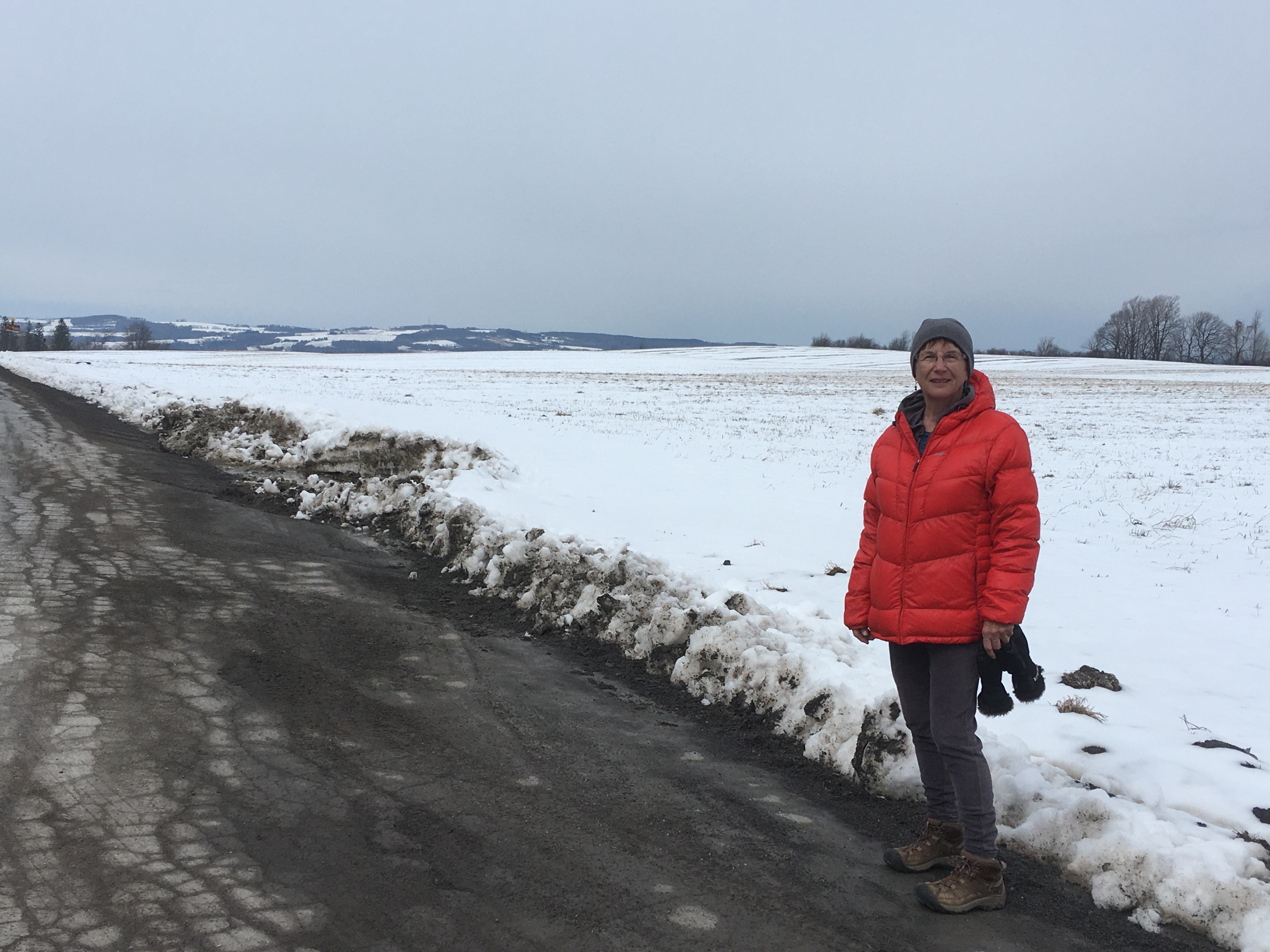
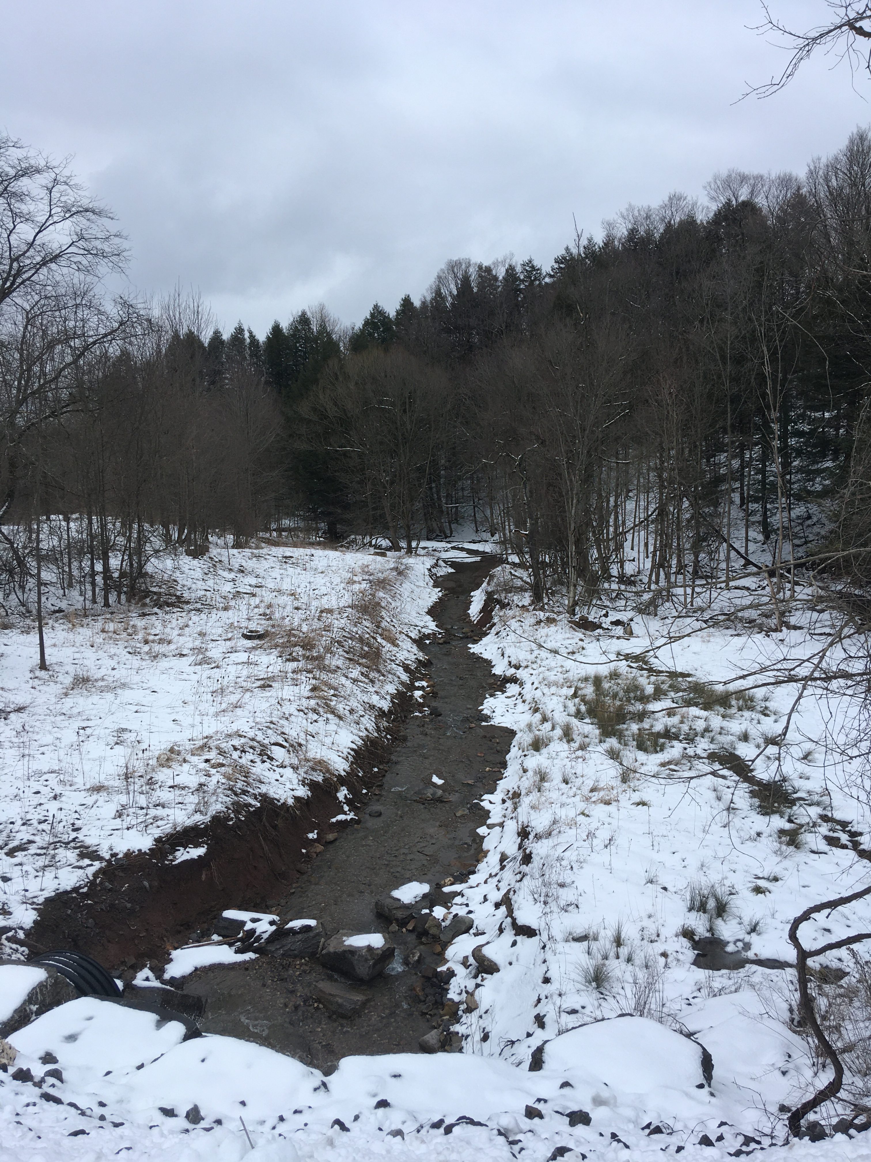
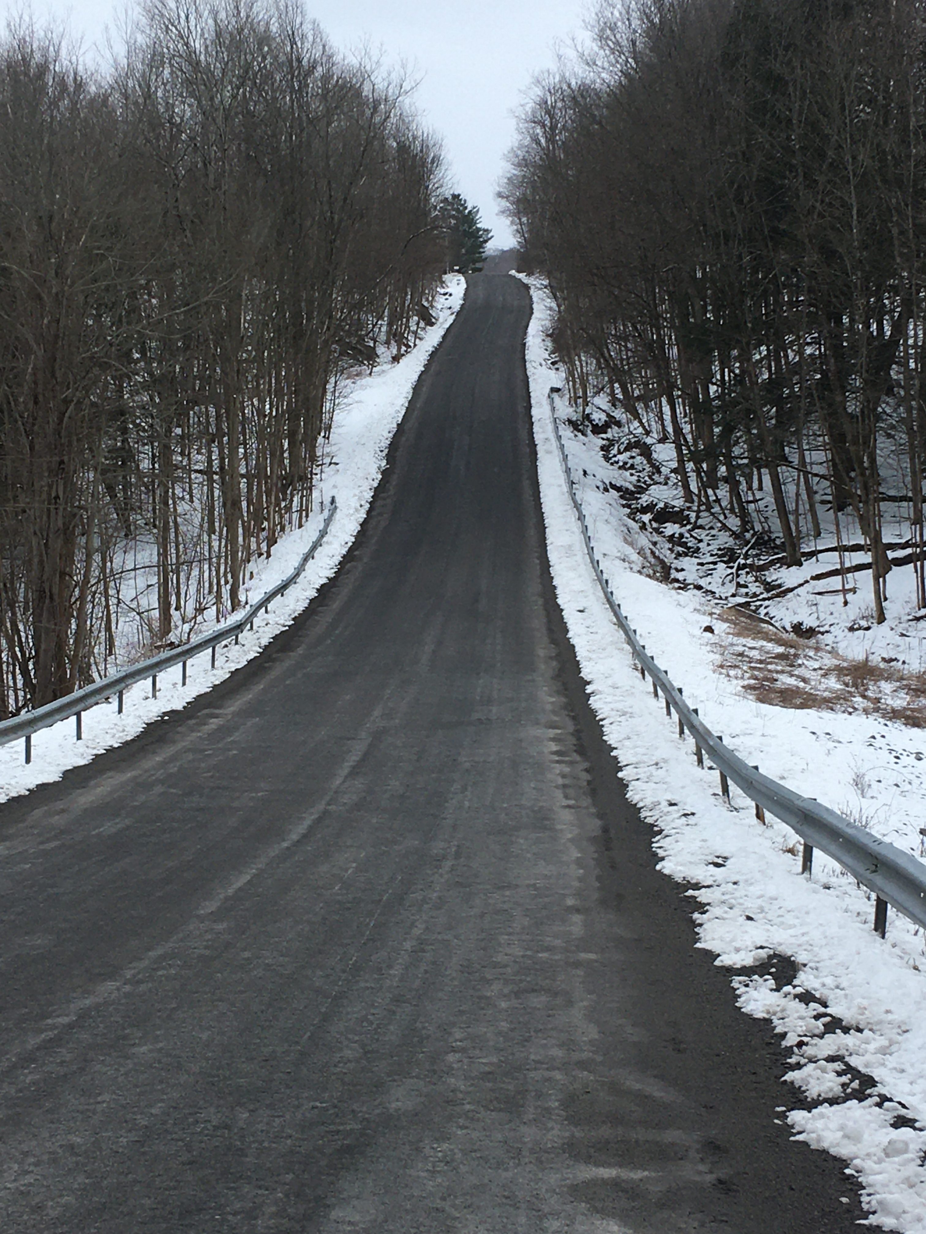
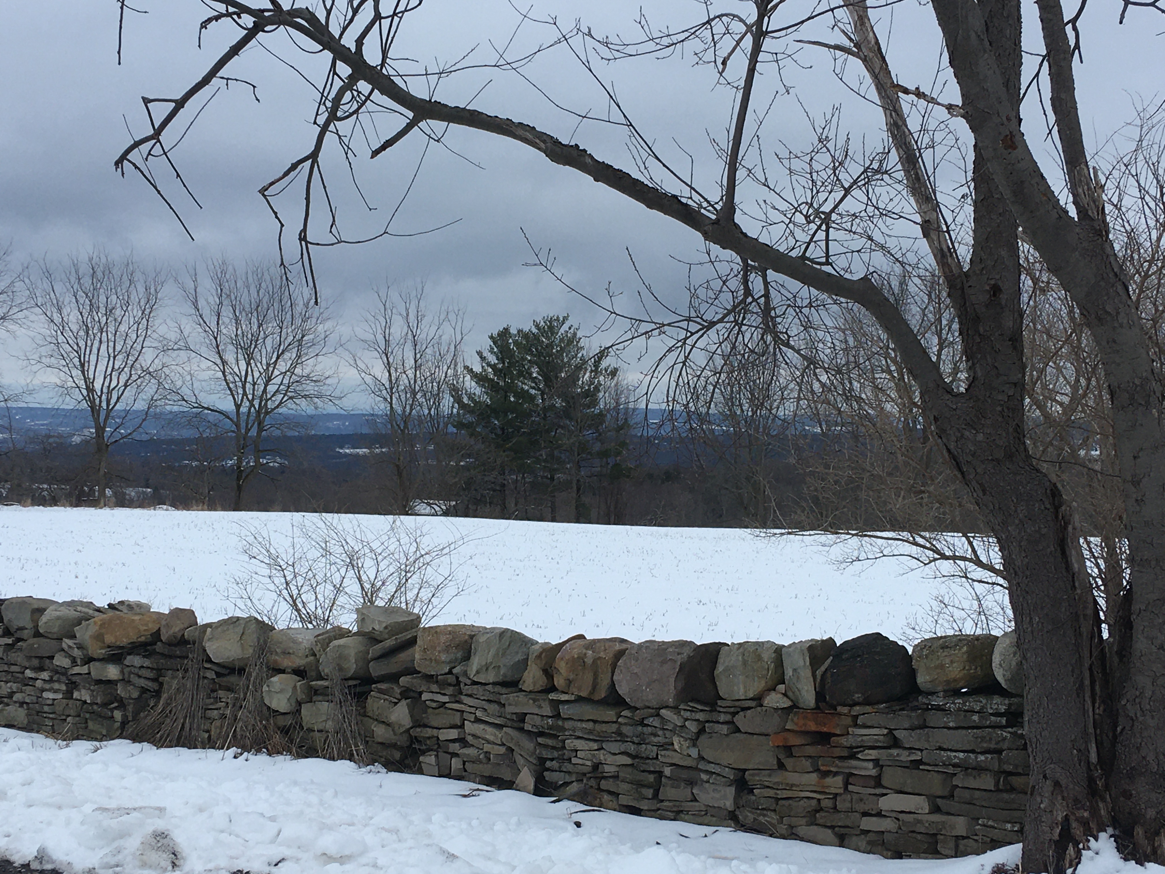
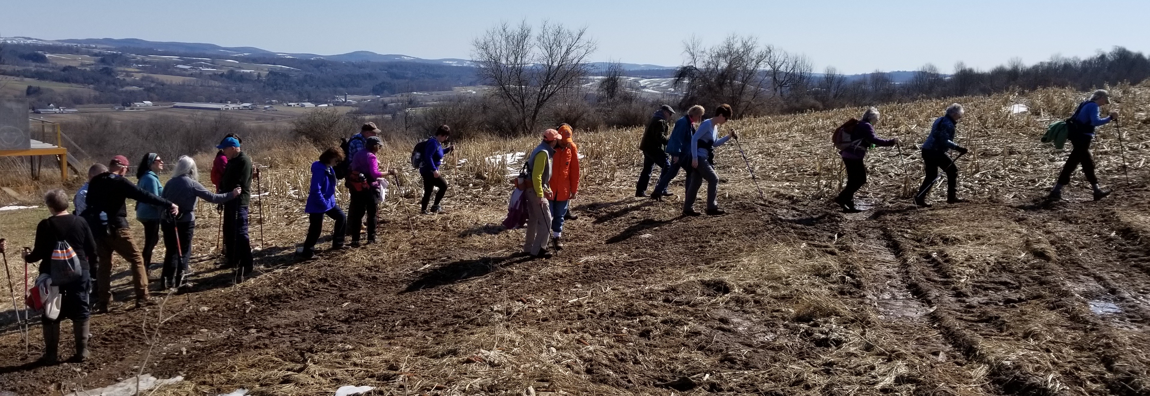
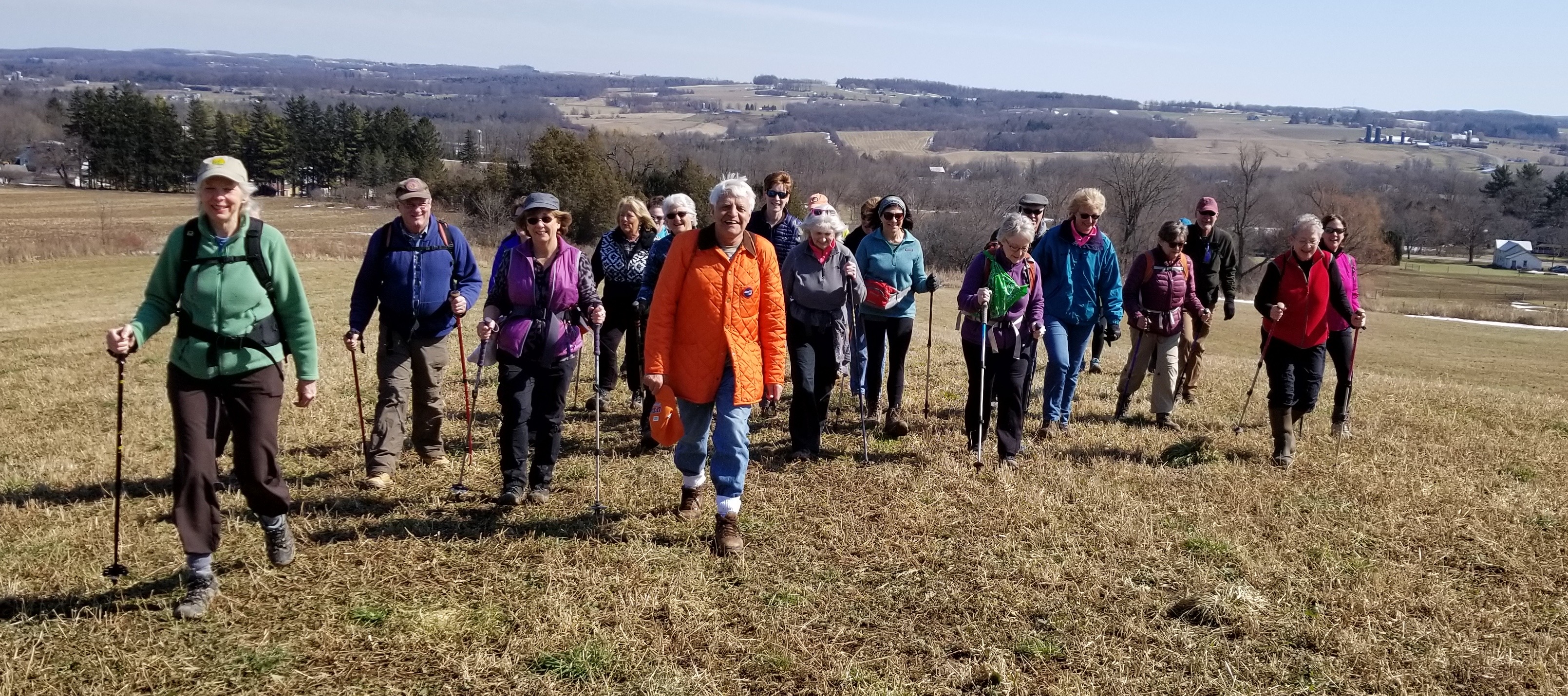