Browsed by
Author: mconnors921

7108 – Sherrillbrook Park
May 22, 2021

7108 – Sherrillbrook Park
May 22, 2021

Write-up: Walt Pillar
Leader: Walt Pillar
Co-leader:

16 hikers, including 6 first timers hiked 4.1 miles through the back trails and ravines of Sherrilbrook Park  on a warm May Saturday.

After the hike, 7 of us imbibed in a glass or two of wine at the Brimfield Farm Winery


7109 Endless Wall and Long Point Trails New River Gorge, WV
Tuesday, May 18, 2021

7109 Endless Wall and Long Point Trails New River Gorge, WV
Tuesday, May 18, 2021


Write-up: Bobbie Scarpino 
Leader: Bobbie Scarpino

On a beautiful sunny, perfect temperature day, 30 Tramps headed north from Pipestem Resort State Park to explore part of the New River Gorge, one hour and fifteen minutes away. New River Gorge just became a new national park. So new, in fact, that most of the literature about the park is still in print.

From the Canyon Rim Visitor Center, we drove the short distance to the trailheads for the 5-star rated Endless Wall Trail. The first, Fern Creek, proved to be too crowded, since it’s on the map as the place to start. But we found ample parking spaces 0.5 mi. down the road at the second less populated Nuttall trailhead. The trail could be considered a loop, but the rangers did not recommend walking the 0.5 on the road to complete the loop back to our cars. We decided to do the shorter out to Diamond Point Overlook and back for 2.5 mi along the outside forested edge of a cliff wall. The wooded area was like walking in a tropical rainforest with rhododendrons creating a canopy of beautiful pink blossoms. Several spurs led to the edge of the cliff with views of the New River and the gorge. Diamond Point afforded a spectacular view of the gorge and partial view of the bridge that spans the New River. We stayed a while here taking in the beauty and enjoying our lunch. Upon the way back, a ladder used by rock climbers to access the cliff wall was discovered. Lu, Kathy, and Jean let curiosity get the best of them and climbed down the ladder to the bottom of the cliff, while the rest of us watched and took pictures of their perilous journey down into the crevice.

Returning to our vehicles, 18 of us ventured back across the New River Gorge Bridge to the Long Point Trailhead on the other side of the gorge for an additional 3.5 miles. This trail boasted a variety of plant life, including a rhododendron and mountain laurel forest, all in bloom. High up on a rock- outcropping at the end of the trail we were rewarded with an awesome view of the New River Gorge Bridge. The entire day was definitely a once in a lifetime experience!

More photos of this wonderful Tramp trip


7109, 7110, 7111 PIPESTEM STATE PARK, WEST VIRGINIA
May 15-May 22, 2021

7109, 7110, 7111 PIPESTEM STATE PARK, WEST VIRGINIA
May 15-May 22, 2021

Write up: Kathy Countryman
Trip Organizer: Kathy Countryman
Hike Leaders: Bobbie Scarpino, Carolyn Eastman, George Fogg
Photos: Mary Pat Connors, Jim Wasielewski
The club’s first 100th anniversary trip, which was held at Pipestem State Park in West Virginia, included 42 intrepid travelers who made the most of the park’s beautiful scenery, many activities and amenities, and comfortable accommodations. Most of the attendees also enjoyed visiting New River Gorge National Park (about an hour north of Pipestem) as well.
In addition to the three “official hikes” that participants enjoyed, group members gathered in smaller numbers to go white water rafting, ziplining, horseback riding, sightseeing, and hiking in and outside the park. We ate, drank, and made merry on several occasions, most notably at a cocktail party given by Tom O’Hara and Patty Durnin. There were also campfires, dinners, games, and other fun hosted by hospitable attendees…in other words, “a good time was had by all!”
Everyone arrived home in one piece with many happy memories of a great trip spent with special friends.
7105 – PlotterKill Preserve
May 9, 2021

7105 – PlotterKill Preserve
May 9, 2021

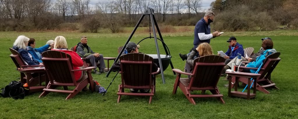
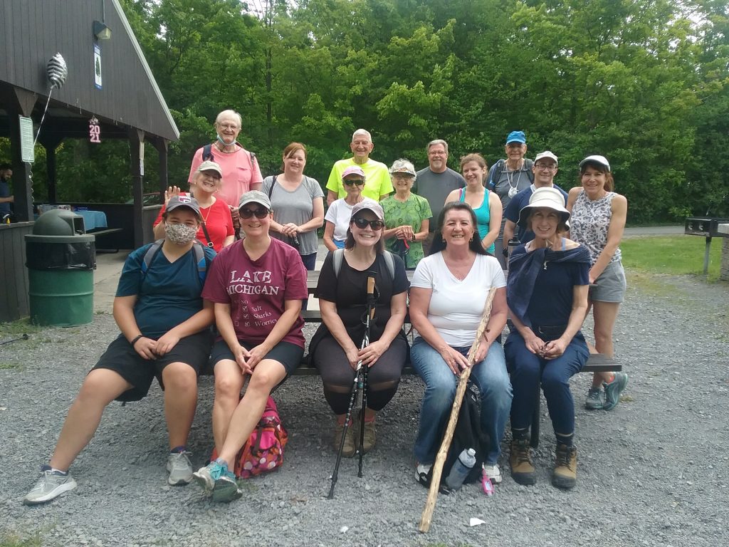
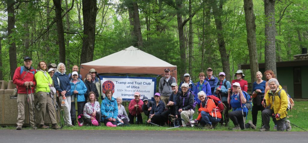
Write-up: Mary Pat Connors
Leader: Mary Pat Connors
Co-Leader: Meg Higgerson (the muffin-maker)
Photo Credit: Jim Wasielewski, Dianna Morris, MP Connors

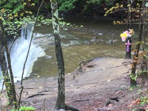
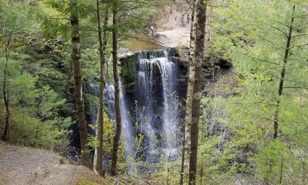
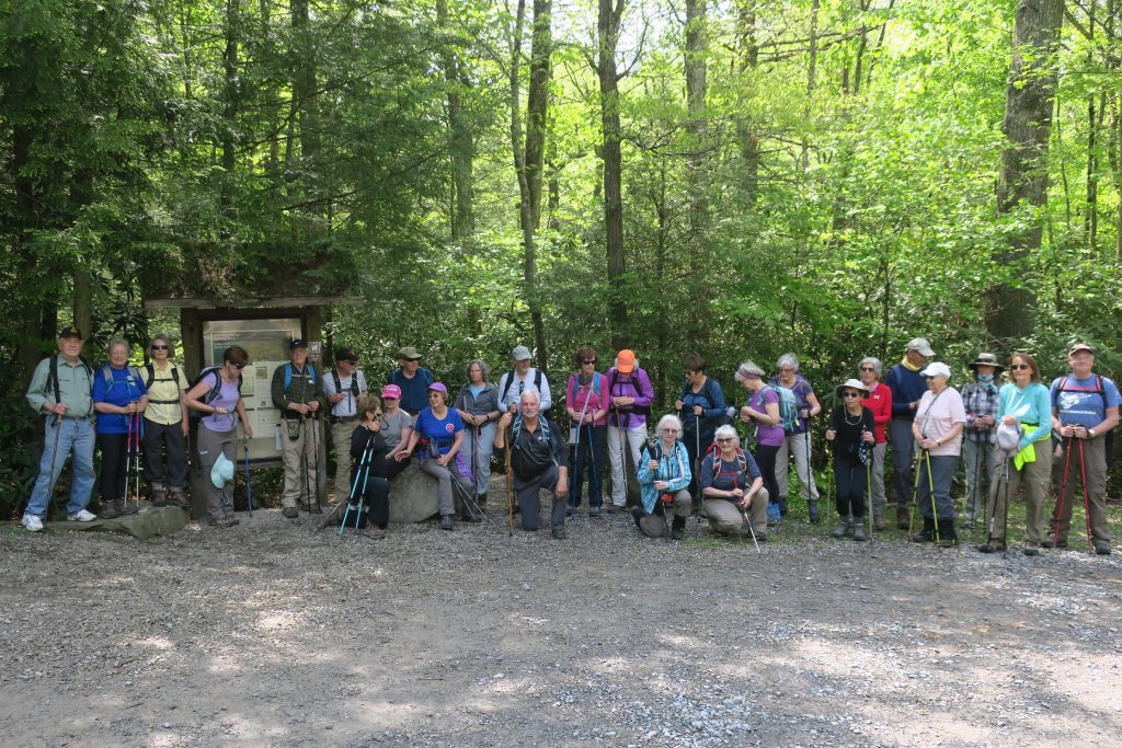
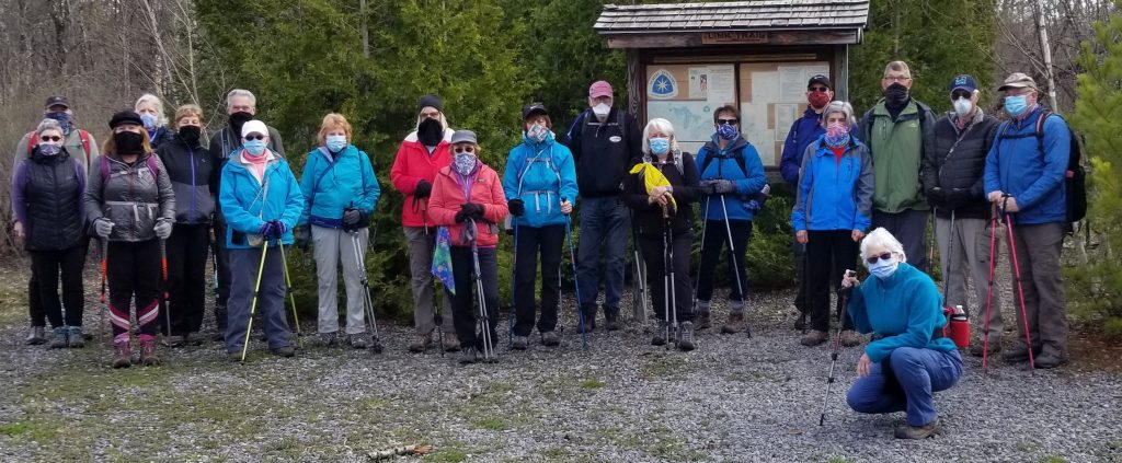
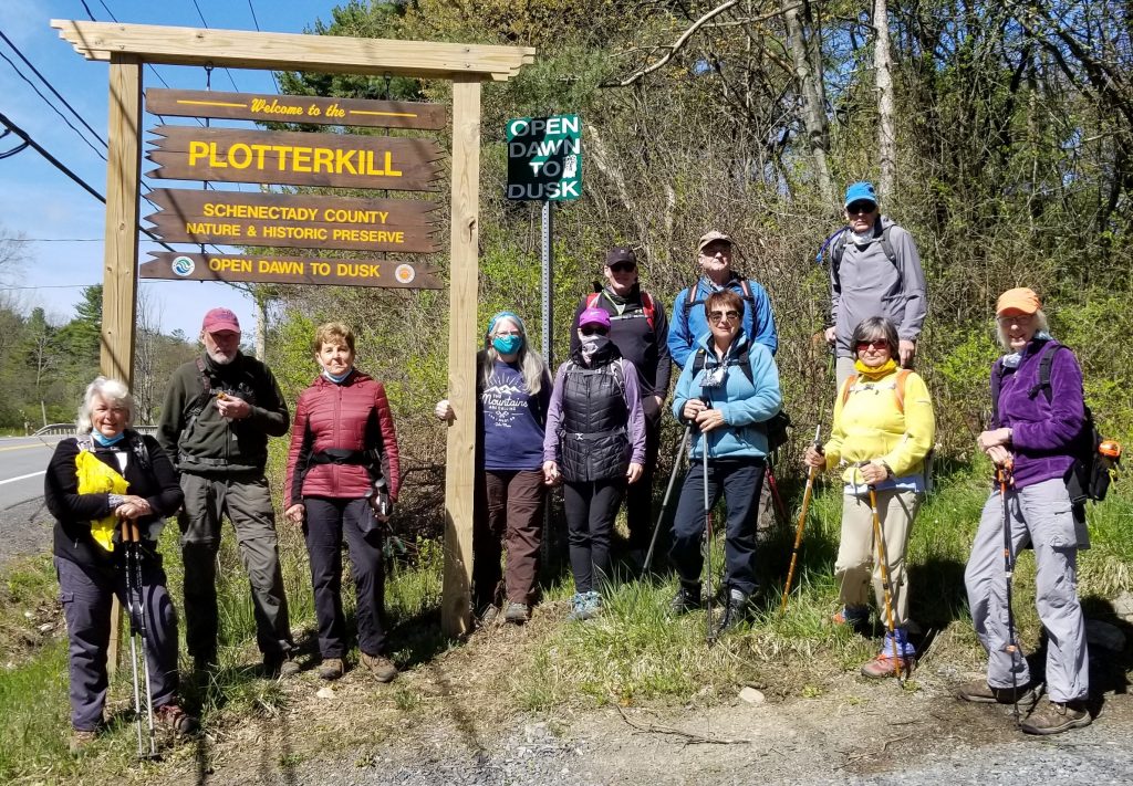
Our area has been getting some good Spring rains, but we were lucky to have clear skies for our hike to PlotterKill Preserve. Located in Rotterdam, Schenectady County, this is a 632-acre nature reserve and hiking area. It contains three 40-60’ waterfalls, which, after the rains were fast and full. The gorge itself was formed at the end of the Ice Age about 10,000 years ago, but the flat rock layers were originally formed about 450 million years ago!!! Now I don’t feel so old.

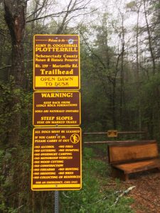
You are met at the parking lot with a sign warning about steep slopes and unstable soils, and many times along the trail there were additional signs “Stay on Trail!” These should be taken seriously as there have been fatalities and emergency rescues here.


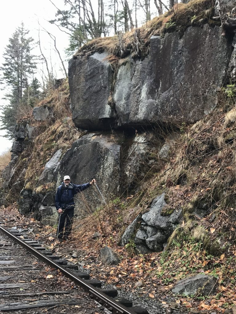
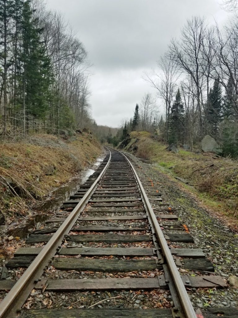
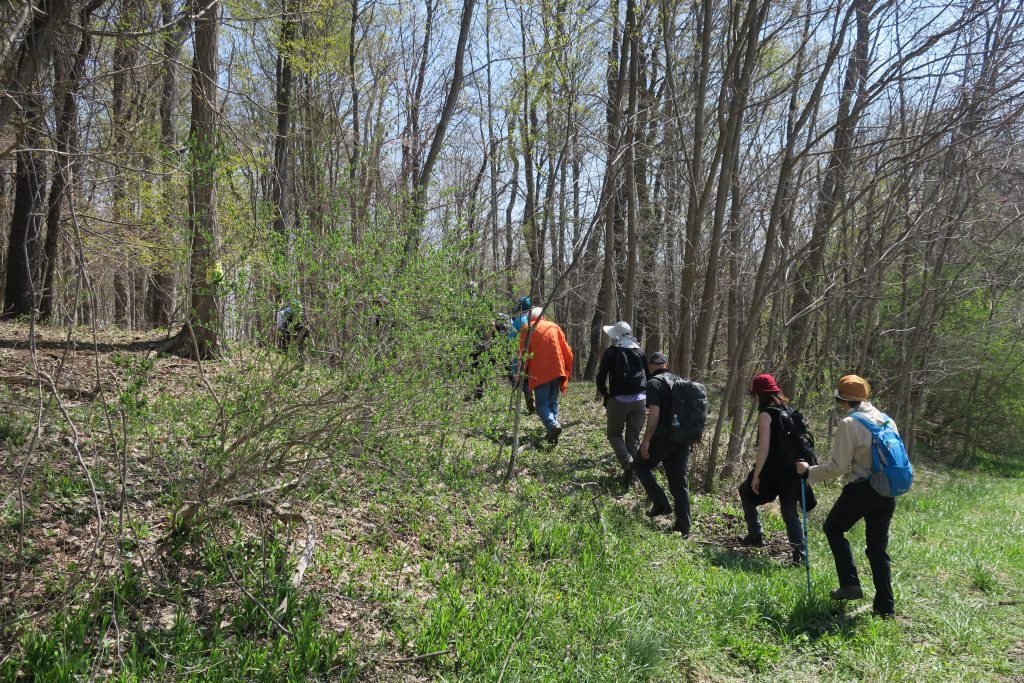
We set out on the “red trail” which under normal circumstances would be a perfect hiking loop, but apparently there is some undergoing construction around power lines that prevented it.

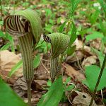
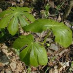
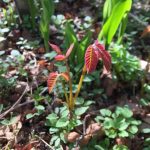
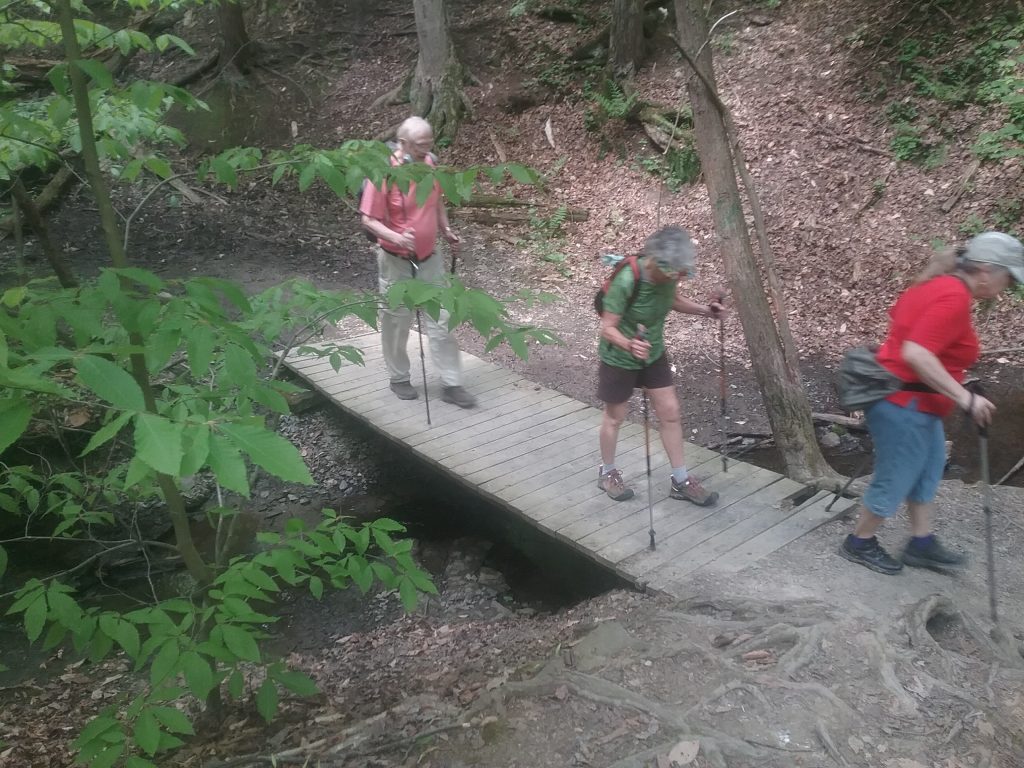
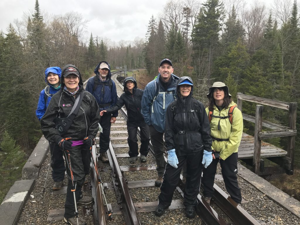
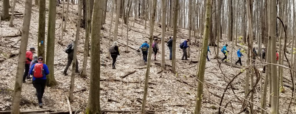
After taking the red down to the banks of the Plotter Kill, where it disappears into the water, we decided we would not like to chance multiple crossings of the creek with the swiftly-moving water. So we back-tracked and took a yellow-marked trail back along the creek and eventually uphill away from it. Taking the “highland” trail we meandered through hard-wood forest, with many Spring flowers dotting the way. Our resident horticulturist, Dianna, pointed out Jack-in-the-Pulpit, Mayapple and baby Poison Ivy.


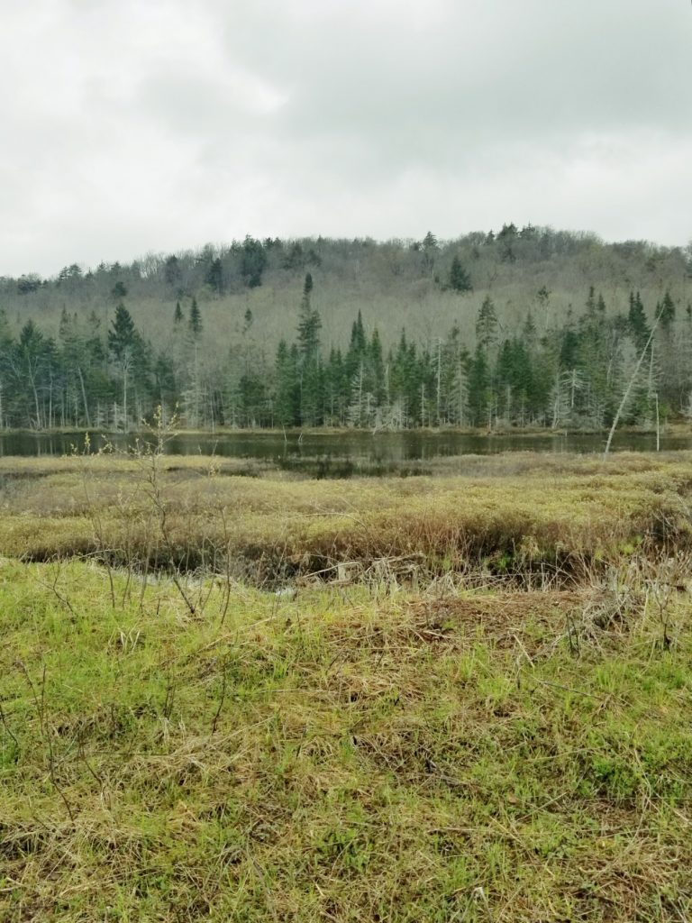
The goal was to continue on the highland trail until we again reached a creek, this time, the Rynex. We did that but had to trudge through wet-lands and a good deal of MUD! Meg said when she got home each boot weighed around 8 pounds with the filthy layers.

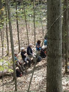
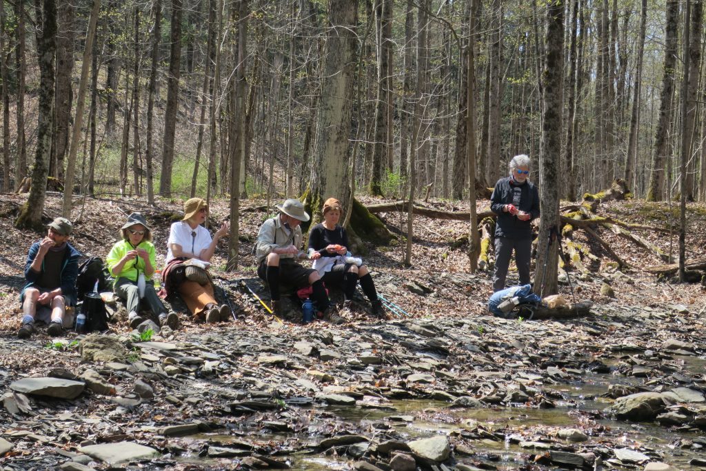
We had a lovely lunch break on the bank of the smaller creek, and then reversed our direction heading back.

At the end of the red trail, we took a blue trail to the waterfall observation deck to view the cascade.

Continuing on that trail we did a small loop back to the parking lot.

By this time the lot was full of cars. However most of those people stayed on easy trails and near the waterfalls. We met very few hikers going the distance that we did.

A wonderful day!

7104 – Big Shanty Mountain
May 8, 2021

7104 – Big Shanty Mountain
May 8, 2021

Leader:  Paul Sirtoli
Co-leader:  Carolyn Eastman
Write-up: Paul Sirtoli
Photo Credit: Greg Sipp


The pouring rain would have made bushwhacking to Big Shanty Mt. a miserable affair, so we somewhat hardy hikers took the “high road” and walked the railroad track from Big Moose Station to Woods Creek, about half-way to Beaver River.

Our intent was to walk around 5 miles, but that morphed into a 9-mile round trip trek.  I suppose we took an extended walk since the heavy deluge on the way to Old Forge was absent at Big Moose.  By noon, it was slightly drizzling as we approached the parked vehicles.

Given that most of the group had not climbed the Stillwater Fire Tower, and since we were in the vicinity, we gave it a go. I won’t mention names, but some tramps just need to have more, and can’t give it a rest. Now, it WAS raining, and hard!

Protected by our rain gear, we charged up the one-mile trail, taking some refuge from the steady rain in the tower cab.  Views were obscured with the dense cloud cover, but what the heck, it was another tower off the fire tower challenge list for some.

We logged 11 miles, witnessed some unique scenery along the railway corridor, and were home by mid-afternoon.

Participating in this partially wet event were Carolyn E., Phyllis D., Dave R., Greg S., Paul S., Carol S., Darlene W. and Cynthia S.

7100 – THE FIRST HIKE
April 24, 2021

7100 – THE FIRST HIKE
April 24, 2021

Write-up: Lu Blanchard
Leader: Lu Blanchard
Co-Leader: Meg Higgerson


The 100th Anniversary Hike took place on April 24, 2021 and the day could not have been nicer. (Our Tramp forefathers were watching out for us!) We met at the top of
Elm Street, in the Parkway parking lot and a fine gathering it was. Our members really got into the spirit of the 1920’s with bloomers, pack baskets, cloche hats and the like. WKTV was there with a reporter and a cameraman and they interviewed Meg Higgerson, 100th Anniversary Committee Chair; Bobbie Scarpino, President; Lu Blanchard, representing Abigail Dimon; Linda Cox, Abigail Dimon’s great-niece; and two hikers joining us for their first time, Terry R. and Lisa L. Meg had all 50 strong line up behind our new banner for pictures and a “champagne” toast! Five of the members who hiked the Glen in 2005 also were present, Mary Cameron and Bill Wilson who led the hike, David Drew and John Gilbert. They didn’t hike with us this time, but it was good to have them come for the pictures and toast. Madonna and Don Fellows, Jean and Emil Misiaszek, and Nancy Agen also hiked in 2005 and did hike this time as well.

It was a first in a couple of ways. First time a leader was lost! Lu forgot her pack at the Parkway and went back to get it only to find that Bill Higgerson had picked it up and taken it to the other end of Valley View to wait for the hikers. Trouble was her car keys were in it, and her phone was home, so she couldn’t tell the others that she would have to catch up with them instead of driving around to meet them at the Parks Maintenance building. The info that she had gone back never made it to the front of the line, though, so Kathy and Meg were frantic trying to call her! Oh what a way to start!

It was also the first time most of us had seen Cascade Glen or the lovely property now owned by Mohawk Valley Water Authority (MVWA). The willows were beautiful and the reservoirs were full. We didn’t see much wildlife with this many hikers, but the antics of the hikers made up for it! The stream through the Glen was still strewn with shale and the effects of the floods of 2019 could be seen by the huge trees spread around the glen. The MVWA graciously gave up permission to hike into the property and it really was a special feeling to know that we were retracing the steps our founders had taken on their inaugural hike. In the words of one of our Tramps who couldn’t be there, “This is so much fun!”

The toast was, “To all the Tramps who led the way, who blazed the trails and seized the day. To all the Tramps now here today, and all those not yet born to play.
We salute you! Mazel Tov! (Good Luck)”


More Photos

7098 – Cazenovia to Art Park
April 17, 2021

7098 – Cazenovia to Art Park
April 17, 2021

Write-up: Sue Manier
Leader: Sue Manier
Co-Leader: Meg Higgerson

21 Tramps hiked the Link Trail that begins off of Chenango Street in Cazenovia on a cool spring day. Walking a short distance along the trail we crossed a small stream that with a short hop we tried not to get our shoes wet.  Continuing along the stream is a wooded field with well-constructed foot bridges. 
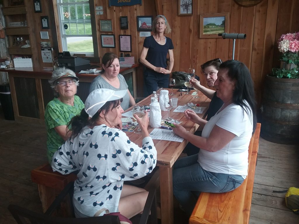
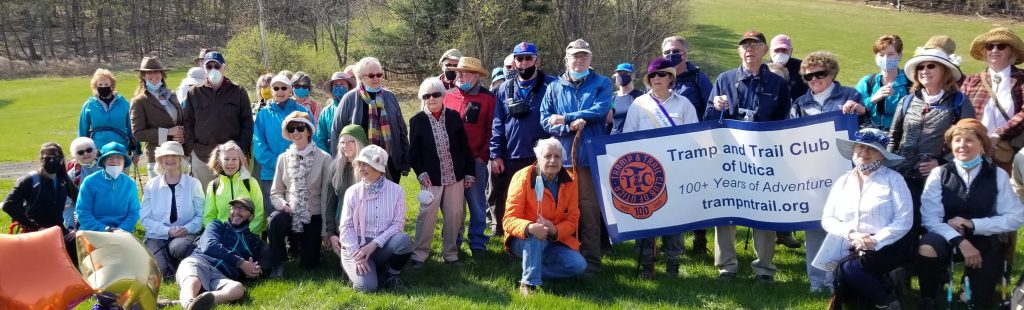
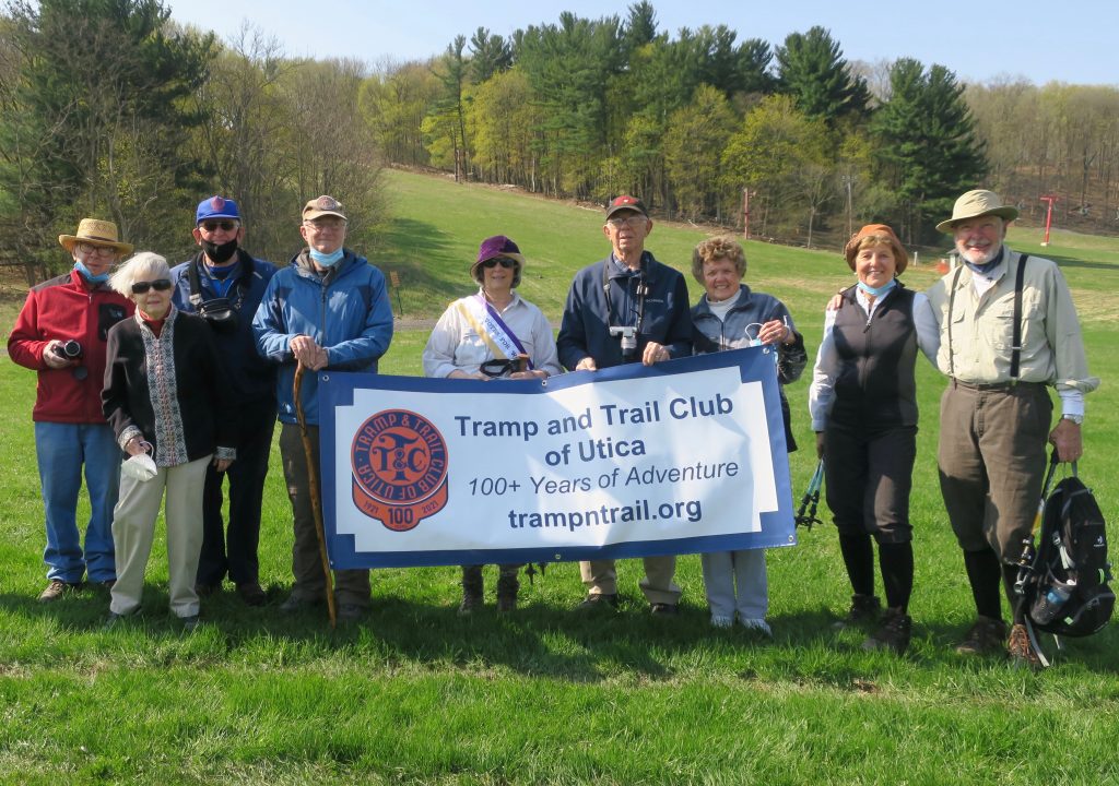
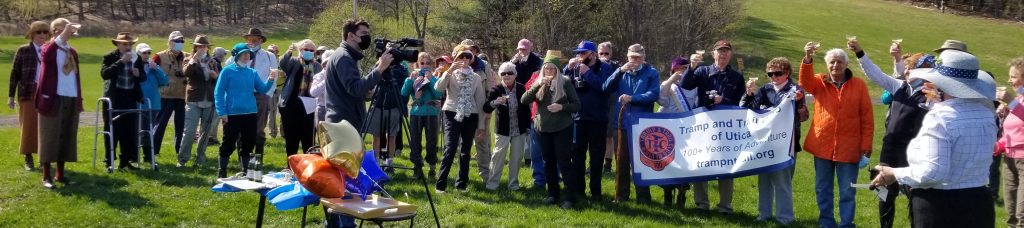
The group hiked 5 miles up to the entrance of the Stone Quarry Art Park. There we walked around enjoying the outdoor landscape and sculptures. On the way back we stopped at the Madison County Distillery for some liquid refreshments. It was nice to share some liquid comradery after a year’s hiatus.

Thanks to Sue and Meg for a great hike and Jim Wasielewski for taking the pictures.

(If you have Amazon Prime you can view a film about the Stone Quarry Art park.)

7095 – Foxy Brown – April 4, 2021

7095 – Foxy Brown – April 4, 2021

Write-up: Lu Blanchard
Leader: Lu Blanchard
Co-Leader: Bob Kane

As often happens with our hikes, the weather turned out much better than forecast and instead of morning rain and temps in the low 40s we had morning clouds which gave way to beautiful blue skies and sun with temps in the mid-50s. All I could think of while hiking is Gail H.’s comment on hiking on Sunday – we’re already in the blue-sky cathedral- could a church be any better?

There were five of us who explored the newly refurbished Foxy Brown x-country ski trail. According to a DEC sign, “the trail was named after Adirondack hermit Foxy Brown, whose real name was David Brennan. He moved to the area approximately in 1890 from Boston, NY(sic). Foxy Brown worked logging operations around Lake Pleasant and Speculator, then known as Newton Corners, before settling in the backcountry about 6-miles north of Piseco. He built himself a little log cabin at the lower end of an old logging flow on Fall Stream, where he lived for about 25 years….”

We were very pleased with the improvements to the trail-especially on the one stream (where an intrepid Tramp went through the snow bridge on a long-ago hike while x-country skiing with Harold and group, making for very wet and cold feet) which now has a beautiful bridge complete with a push-out, with benches no less! We took the opportunity to have lunch here. It still is a wet trail, but in the worst places, bridges have been added and a lot of cut-back has been done. There are still stands of balsam which would be lovely to walk through in the heat when the fragrance is at its peak. The trail also goes through a lot of hardwood stands that in the summer would be very cooling. Today we welcomed their openness which allowed the sun to shine through!

We heard very few birds, one woodpecker, one possible winter wren and saw even less wildlife. However, the amount of scat on the trail was evidence it is there. At one point along the western side of the trail it looked like a pack of coyotes had used the trail with multiple dumpings on about a 100-foot stretch. (Sorry, poop is cool when it happens on the trail and isn’t dog or human!) I’d suggest people get out and enjoy this trail and all the work that was done. Thanks to Mary Pat, Dianna, Kathleen and Bob for going on the hike with me.

7087 White Pond and Mt. Tom
March 7, 2021

7087 White Pond and Mt. Tom
March 7, 2021

Write-Up    Paul Sirtoli
Leader        Paul Sirtoli
Co-leader   David Rockwood
Photo credit   Dave Rockwood and Ed Kobos
Brilliant sunshine with a kick of pre-spring warmth, frigid single-digit temperature, solid ice on Limekiln Lake, and a compact snow surface for easy bushwhacking……who could ask for better conditions to explore the wilderness?
Having missed the trailhead, Ed Kobos, Dave Rockwood, and this writer visited the diminutive White Pond via map/compass, eventually intersecting the yellow-marked trail to the pond.

Traversing the frozen surface gave we hikers a panoramic perspective of the nearby hills, and a visual of the 2,651 ft. summit of Mt Tom.  From the shoreline, we commenced in earnest our bushwhack to the twin peaks of Mt. Tom, the furthest having an elevation of 2,665 ft.  Winter views through the trees were marginal, but the beautiful wintry landscape surrounding us was worth our effort.
Rather than retrace our steps, we boldly dropped off the back side, heading toward Fawn Lake Mt. and the vast meadow drainage that dominates the narrow valley between the two hilly ranges.  One cannot adequately describe the pure delight to saunter through an extensive, frozen beaver meadow where at other times of the year, would be a hikers’ nightmare quagmire.
Hemmed in by either cliffs and steep, ice-rocky ledge, we exited the valley back to Limekiln Lake via a lightly-used snowmobile trail.
This leisurely, serendipitous hike was 8 miles, with 1,200 ft. elevation gain, in 7 plus hours.
7082 – Middle Settlement Lake
February 20, 2021

7082 – Middle Settlement Lake
February 20, 2021

Write-up: Joe Cantales
Leader: Joe Cantales
Co-Leader: Deb Cantales

Temperatures were around 20 degrees with light snow.
We had a total of seven participants on this hike. The trail was in great condition and stream crossing was easy. We hiked the red trail, yellow trail, blue trail, and yellow trail to the lean-to.

We encountered two other hikers on our way in. As the hike leader, I try to offer a democracy of an experience. I have a set itinerary but look for consensus on how everyone is doing, breaks after steep inclines, encourage water breaks, give everyone the option to be in the group picture, etc. It seems that many are eager to hike in an effort to find /my head/my heart/my soul. Left foot, right foot, left foot, right foot, up, up and up. Voila! The hiking recipe does it again. Everyone seems to be grounded with nature. Once again, we reach the part of the hike where civilization and wilderness meet. Yes, we can see our vehicles. A great day!