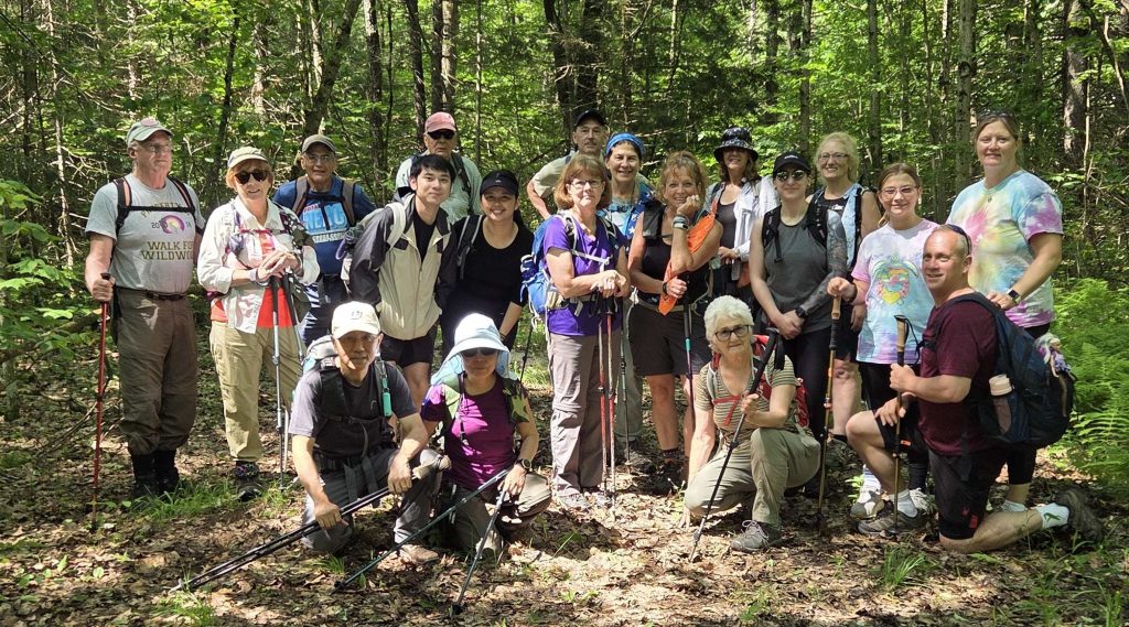
The hike was a two prong attack, a longer hike for the younger and faster Tramps, and shorter hike for the older and slower dudes (and dudettes). Needless to say, you know which hike I was on, the 5.6 mile trek on the Finger Lake Trail (FLT). The staccato thumping of the pileated woodpeckers created a natural rhythm guiding us along the forest floor. Warmth was the operative word of the day. A stop at Muldoons in Waterville however cooled us off. Thanks to Carolyn, who led the faster group, and Bobbette for leading us slower dudes.
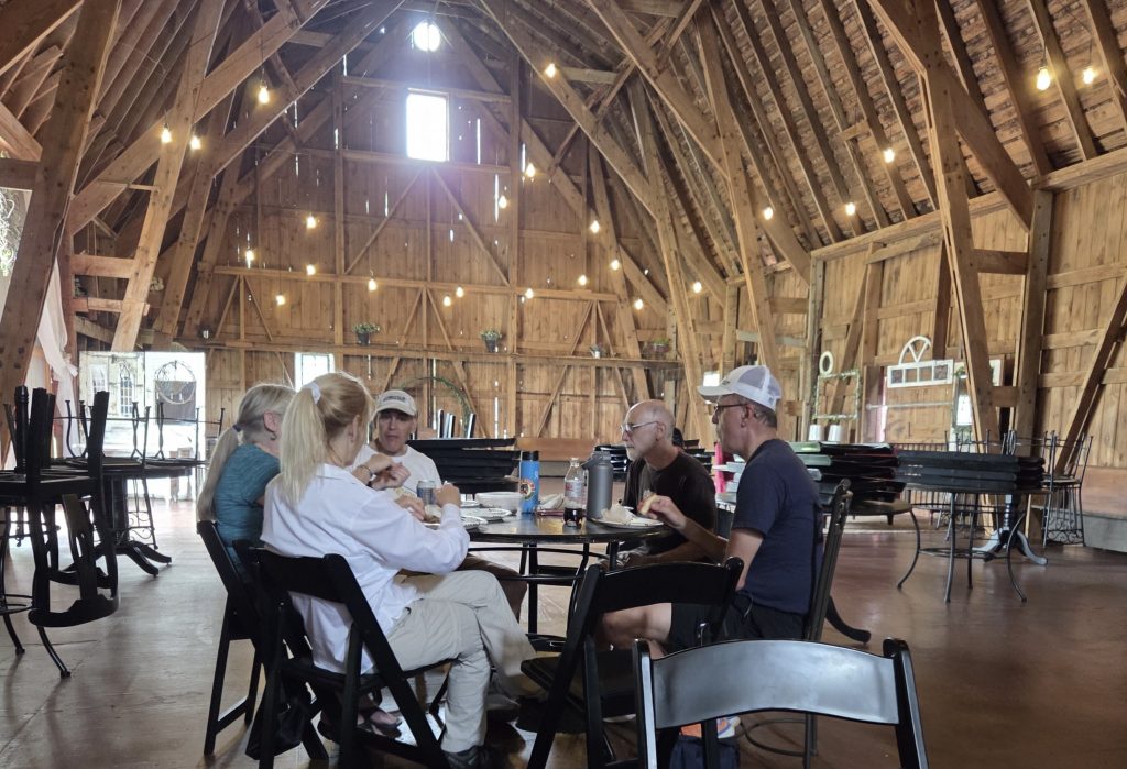
The hills of Madison County. Whether you went 3, 5.5 or 6.5 miles in the hot sun moderated by the caustic air quality from the Canadian wildfires, made the refreshments at the wedding barn appear so much sweeter. Cemeteries and oreo cows (named and photographed by Bobbette) now occupy the 9-mile swamp territory of the notorious Loomis Gang. Thanks to Norma for leading the hike and for hosting the after hike soiree.
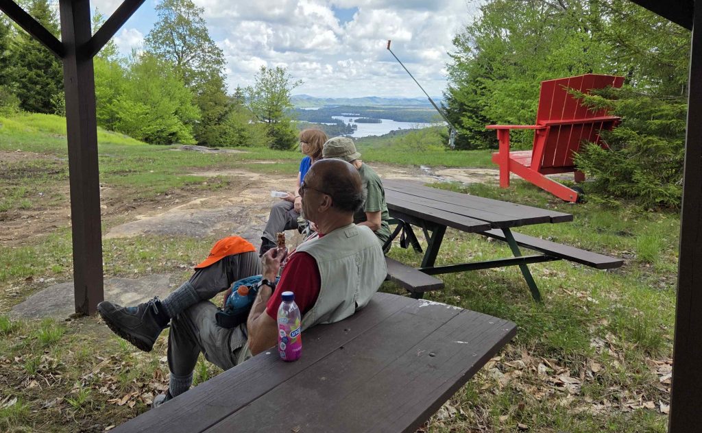
What was supposed to be a Memorial Day hike along the Vista Trail which overlooks the Fulton Chain of Lakes turned out to be a full fledged insurrection!!
Anticipated: • Limited parking at the start point which was Sis and Bub trailhead • Drop a car at the Bald Mountain Trailhead for a shuttle at the hikes end • Stop for an after hike refreshment • Some would not want to stop for after hike refreshments • There was a parade scheduled in Old Forge • The black flies would be awful
What happened: • We met at Subway, then stopped at Alder Creek • Regrouped and met a couple of “delayed participants”at Kratzys where we drop cars and carpool, figuring that will be the post hike refreshment spot.
• We drive to Old Forge and run smack into the parade line up and blocked traffic. • Detouring around Old Forge did not work. We were sitting there waiting for the parade to start, move and end. • TOTAL INSURRECTION! The hikers overthrew the leader to insist we should hike McCauley Mountain rather than wait for the parade to pass. Later they revealed many had Memorial Day hot dogs on their mind and were concerned they might miss their evening meal.
• Being outnumbered, the leader agreed to not lead a hike up McCauley and follow the multiple colluders/co-leaders as they discussed the many routes to and from the summit.
• We were all rewarded by a beautiful view, great exercise, few black flies, cookies and finally a beer at Kratzy’s to precede a hot dog at home. A perfect Memorial Day sans parade.
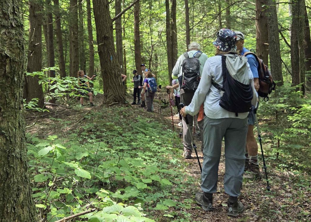
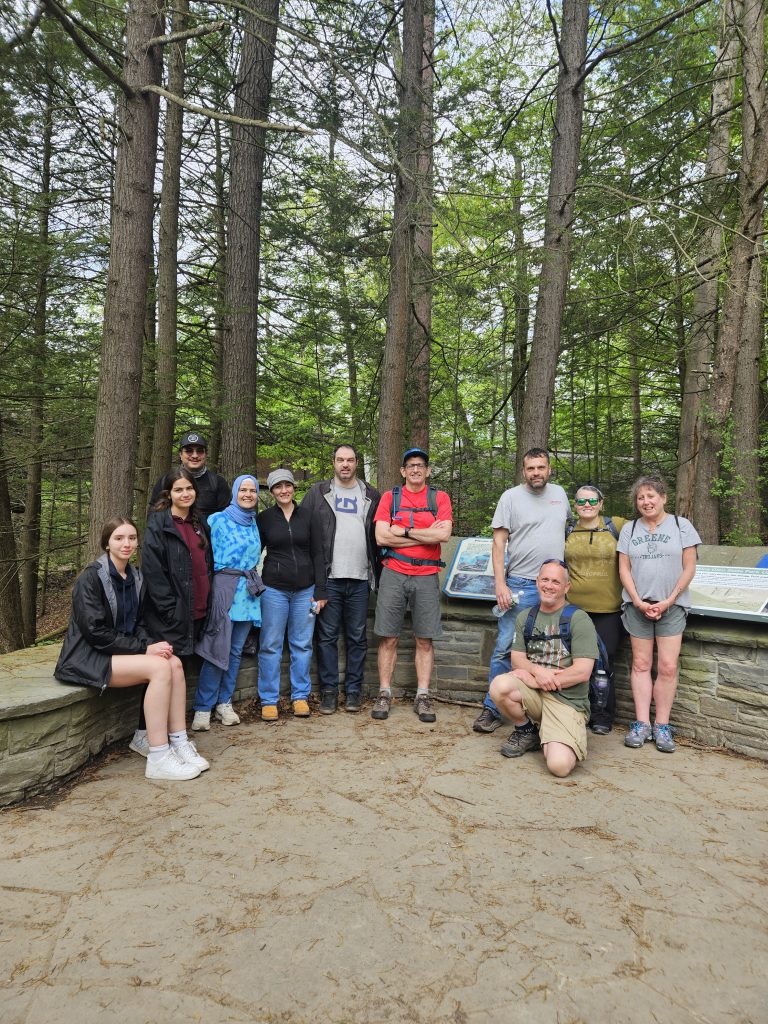
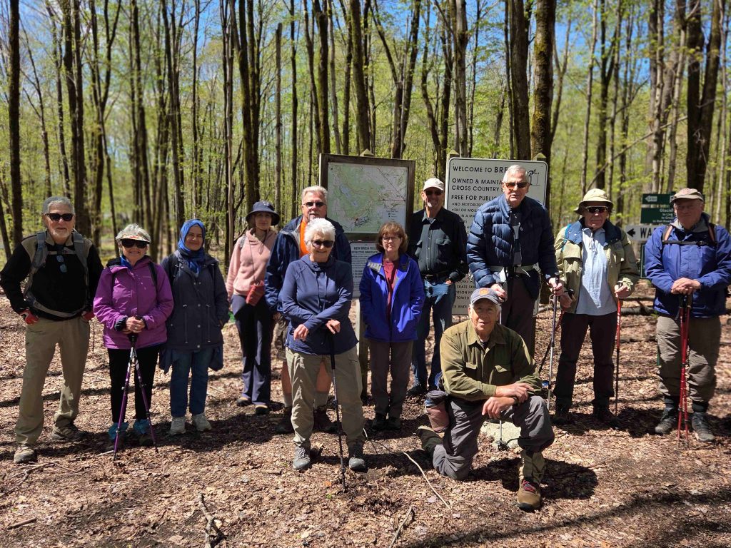
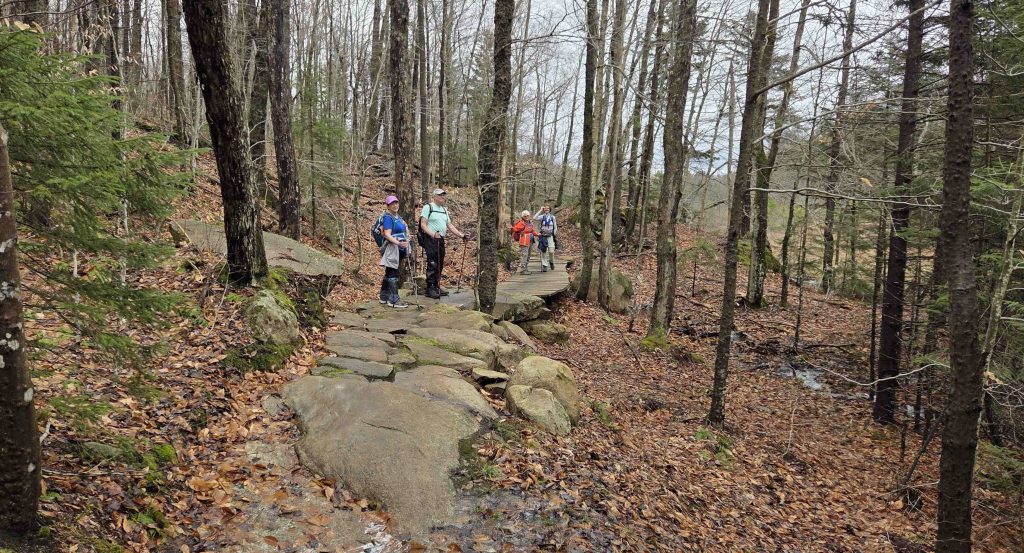
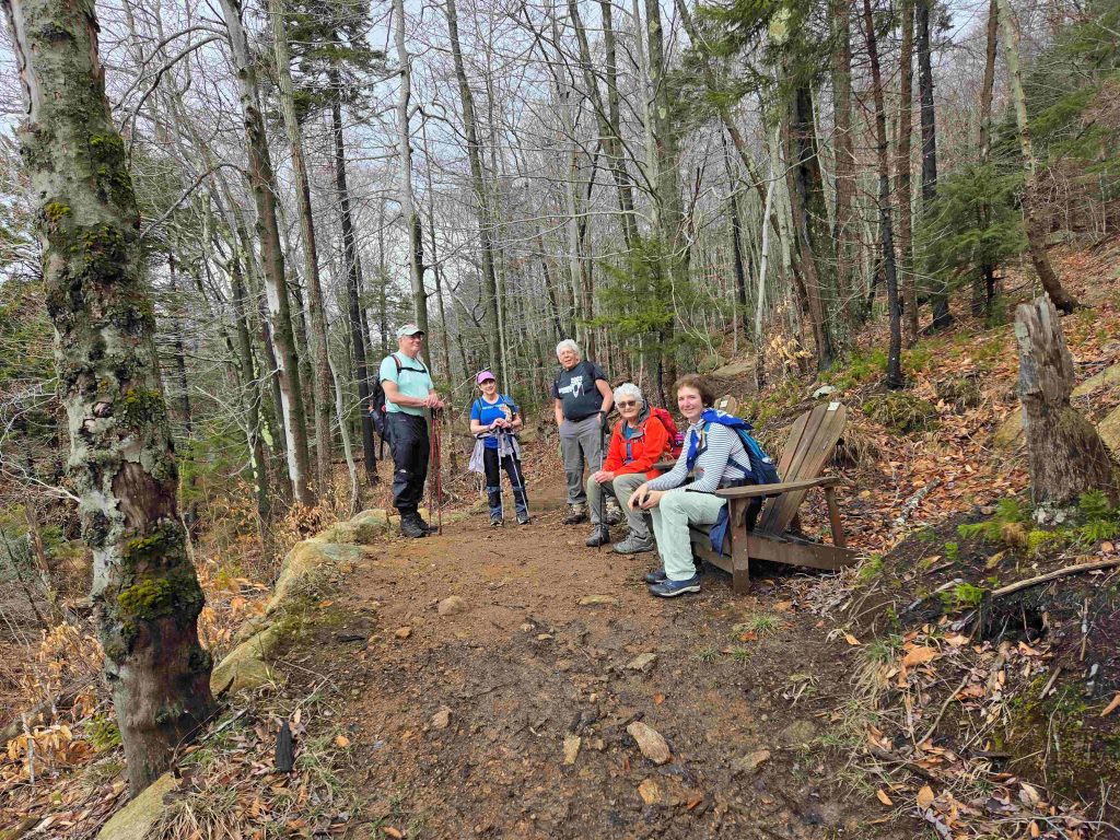
12 Tramps + 2 Visitors met at Cheningo Day Use Pavilion to hike the FLT across the boulder bridge, uphill following the stream & dirt road, veering into the woods for a lollipop loop. Our long-lost Tramp Club President emerged from hibernation to join us! We all missed him & were very glad to have him back with us, and he didn’t lose a step. Speaking of old folks, 12 of us paced ourselves, while our 2 young visitors raced uphill, and mercifully tired themselves out for the downhill return. Blue heron condo nests were spied at the hidden pond on our way out. It was a beautiful day & fabulous hike of 9-ish mls, among even better company!
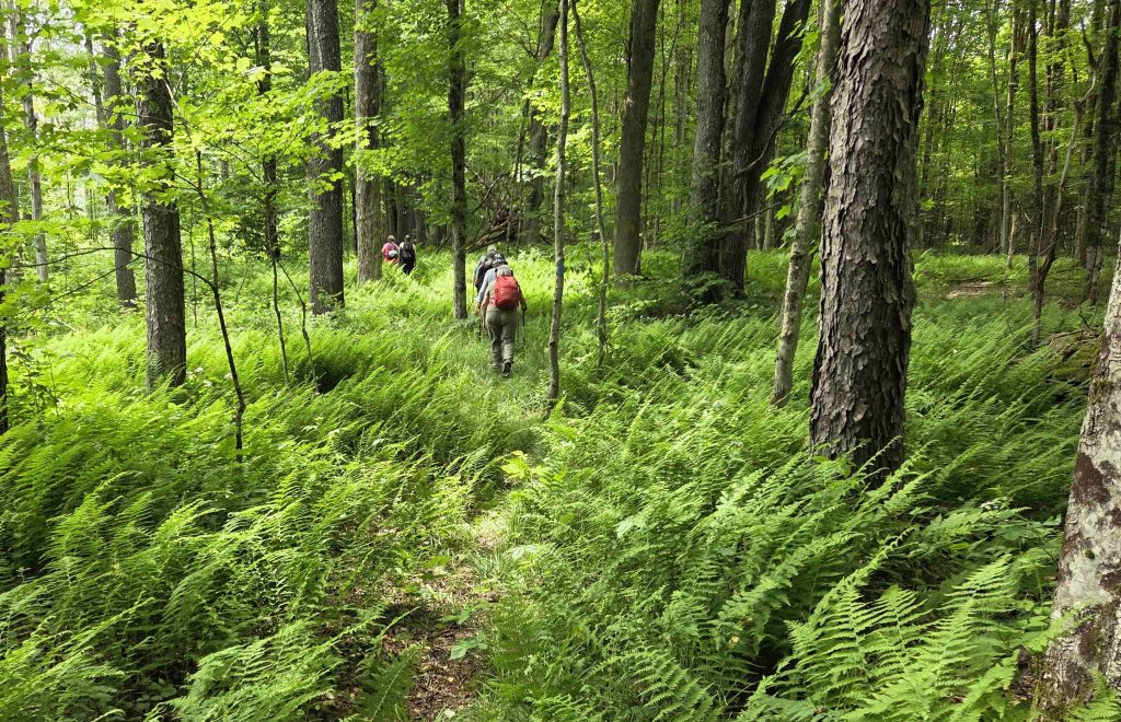
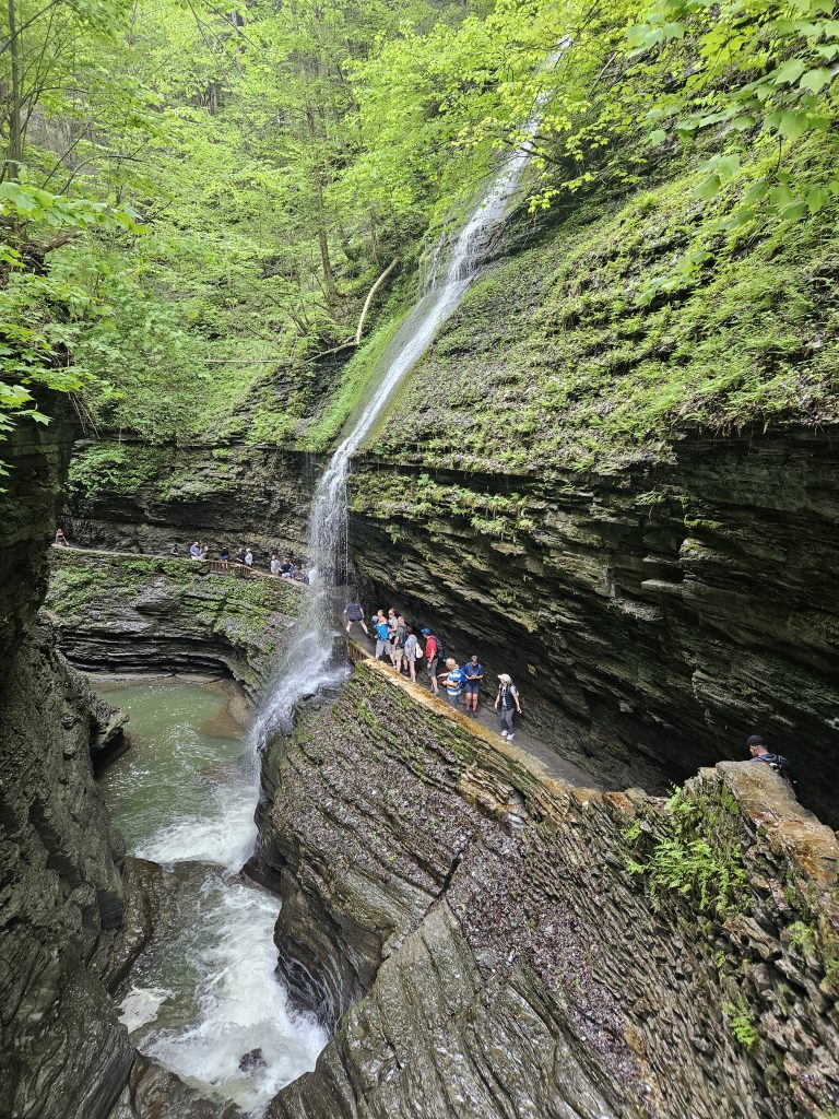
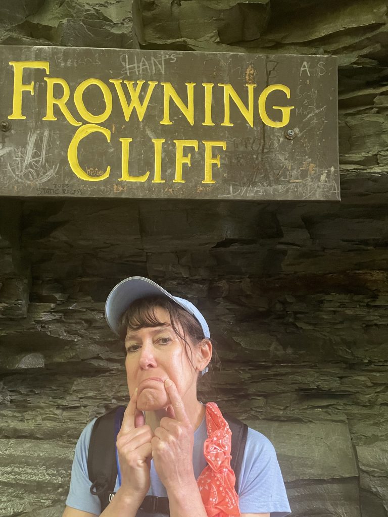
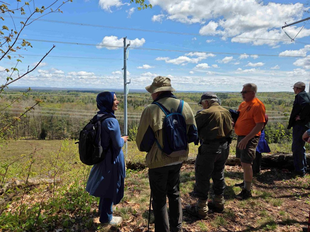
On a beautiful day, 12 excited hikers enjoyed a journey through an amazing history of rock changes which began in glacier times.
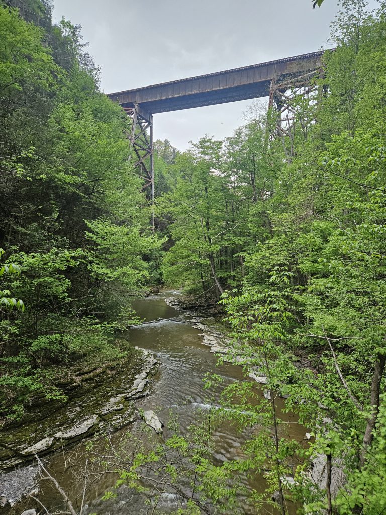
We were awed by waterfalls of epic proportions after descending the 180 steps of Jacob’s Ladder. Of course, what descends must ascend so 9 miles later, we had to climb those 180 steps since we were all too frugal to take the 6 dollar shuttle back to the upper parking area.
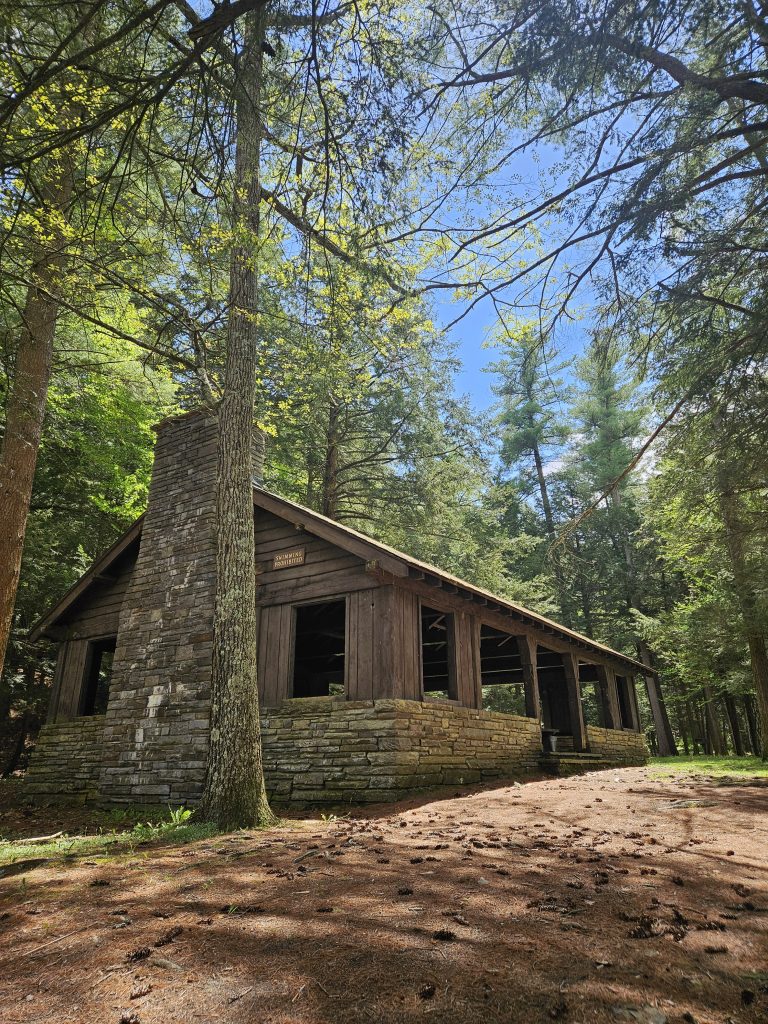
Our trek included the Gorge trail (breathtaking), the North rim (sky high), the spiral tunnel (twisty), the South rim (quiet wooded trail), and then the Finger Lakes Trail where we found an abandoned pavilion and an opportunity to access the water. Thanks to Peter for wearing red so I could identify the group under the rainbow falls and to all who joined the hike and made it a success!
The Moss Island trail was closed due to construction so plan B was to regroup at the Little Falls Harbor. It was nice to see the sun but the wind, which gave us a boost going east made the return more difficult.
Finally the clouds parted, the sun shone and the weather was right down hospitable. It felt like a rebirth which made this hike so enjoyable.
The after hike rendezvous was outside and Walt got the best of it. As Rod Stewart sang ” Some guys have all the luck”. Thanks to Mike and Peter for leading.
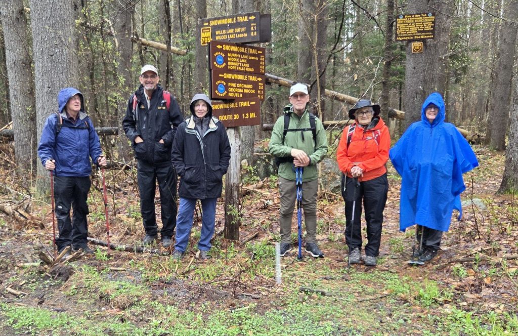
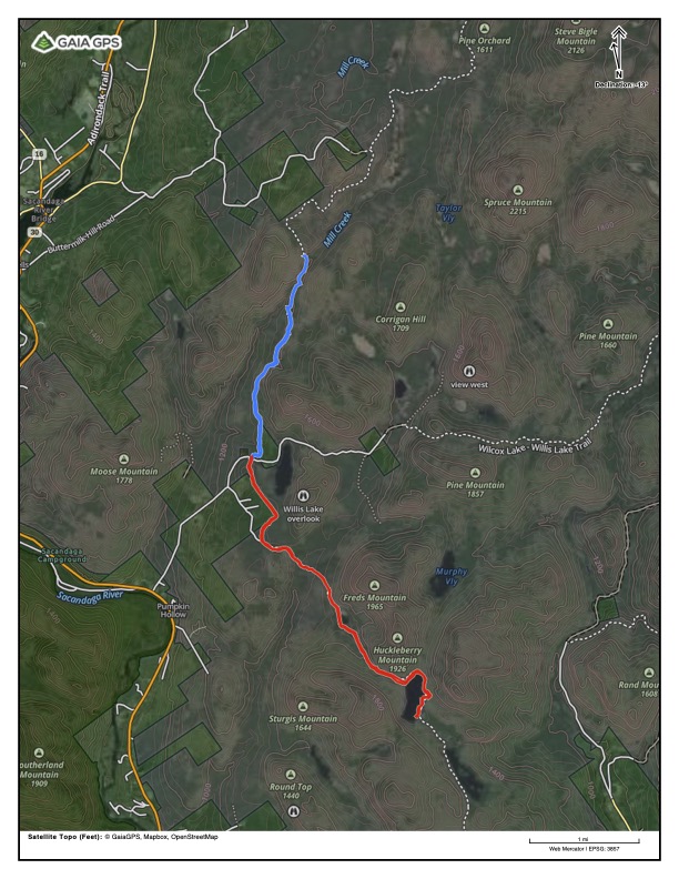
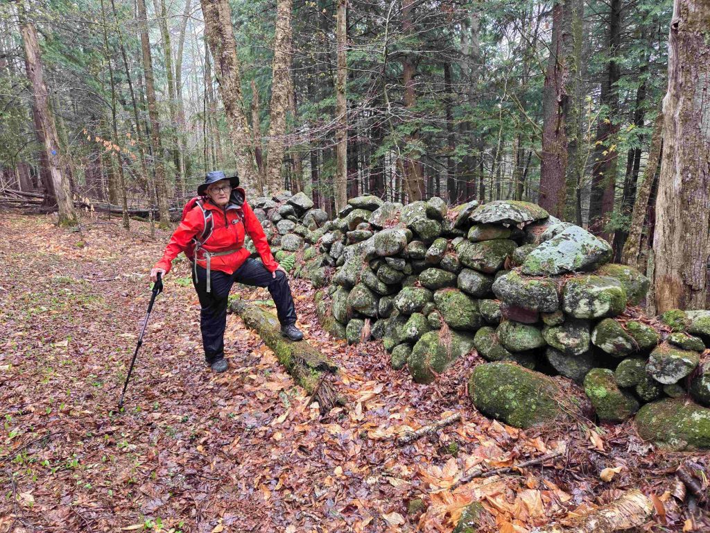
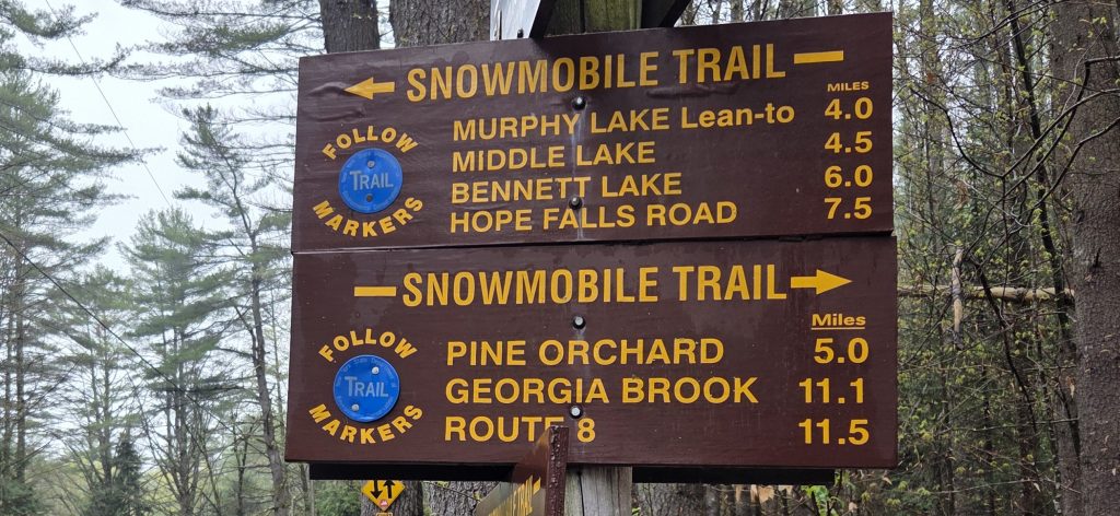
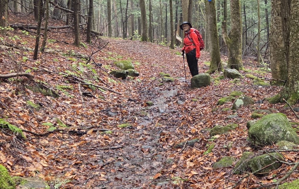
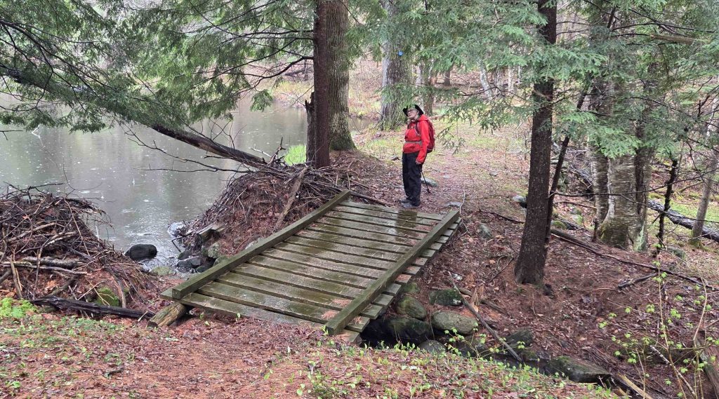
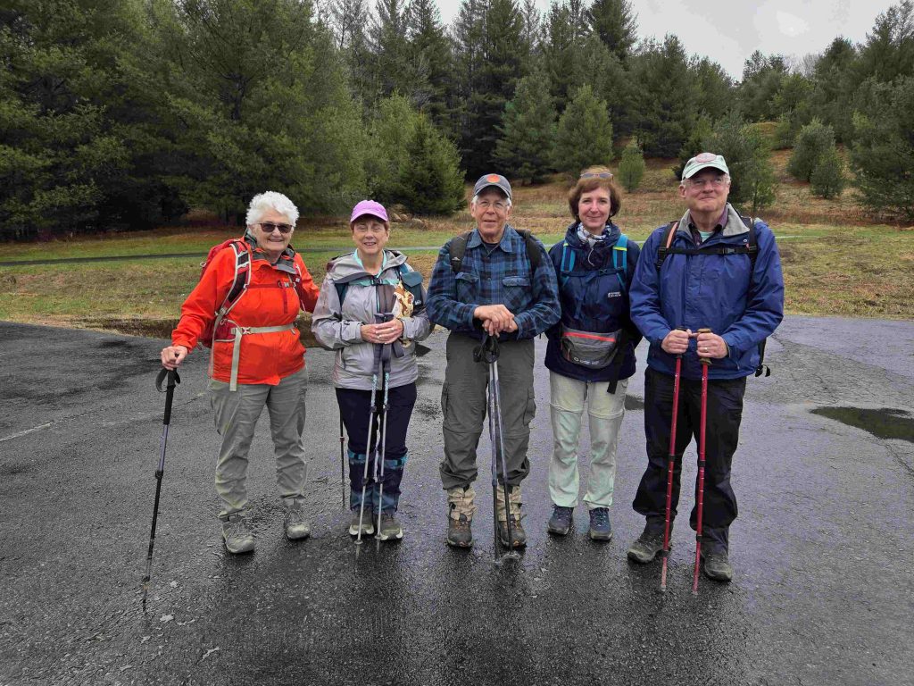
Examine the attached map closely. Notice that the red trail is the track of our July 2023 hike to Murphy Lake. The blue trail is today’s hike. Interesting huh…….It appears that none of us paid any attention to the sign or remembered which way to go. And we had this year’s top 3 hikers aboard. You may also wonder why there are so many photos of just Lorrie. I was having a difficult day (maybe a premonition) and we turned back early. After 4 miles Peter checked his all trails app and not a lake to be found. Otherwise they’d still be hiking. A nice hike despite the rain and wet leaves, roots and rocks. Thanks to Phil for leading.
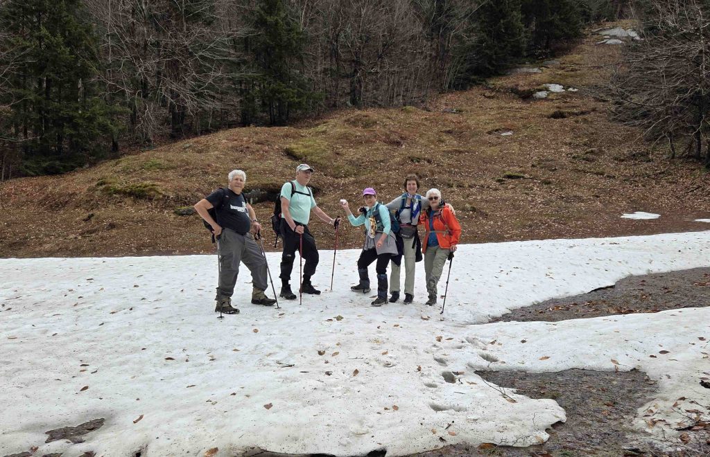
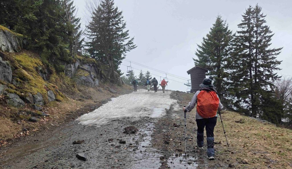
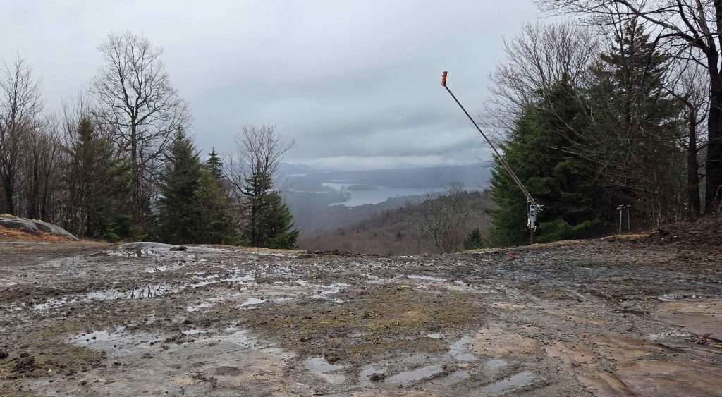
The rain held off and the temperature was balmy, and got warm as we continued to hike. This ascent up McCauley is from the back side most of the way and provided a different perspective of the land geography. Springtime conditions prevailed as the trail was wet but not intolerable. And yes, the skies opened, the moisture descended upon us and the temperature began its noticeable nosedive. A very enjoyable hike and many thanks to Bob Myers for this new adventure.
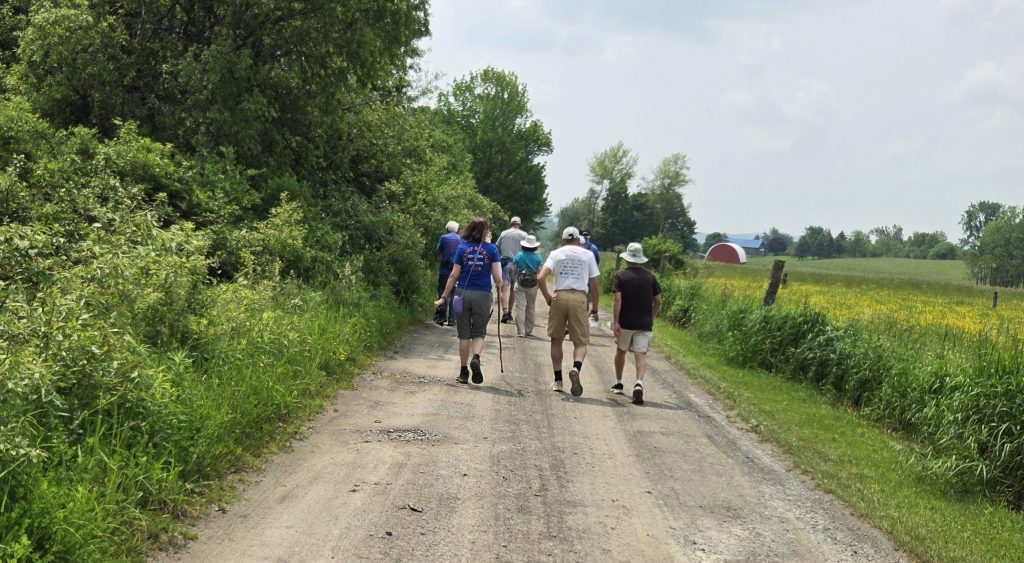
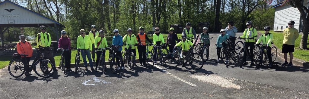
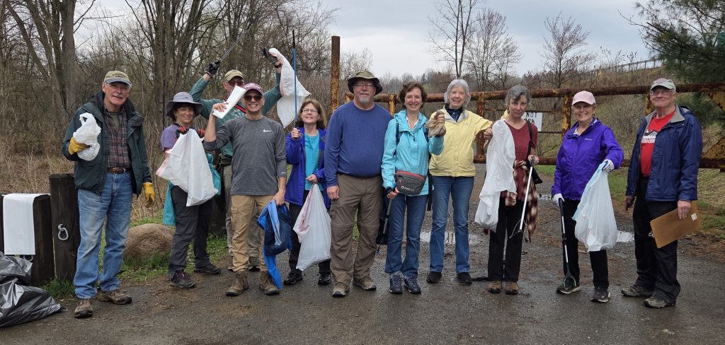
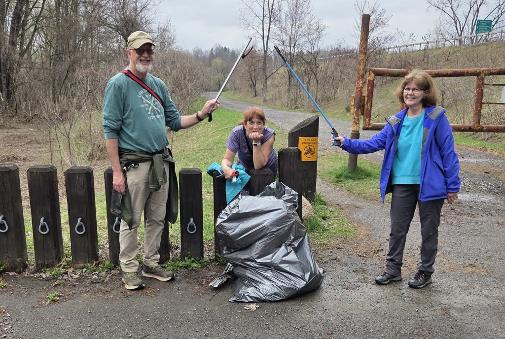
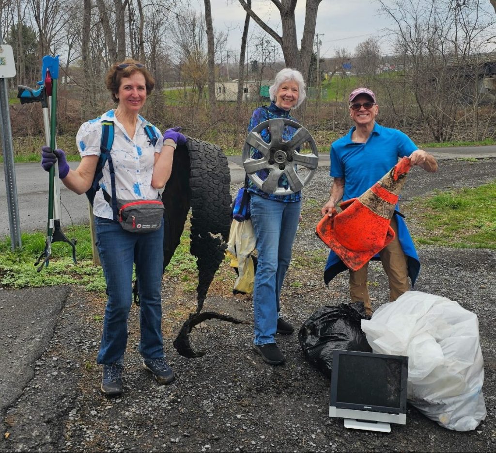
The cleanup was on the Erie Canal Trail from Oriskany to Whitesboro. The weather held off and we didn’t experience any rain or snow. On the contrary, the temperature was in the 70’s.
Thanks to Mike for coordinating the event and the trash pickers supreme who discovered tires, hub caps and road cones, were they at a NASCAR race?