July 24, 2021
7131 – Mt. Dunham
July 24, 2021
Leader – Paul Sirtoli
Co-leader – Greg Sipp
Photo Credit – Greg Sipp
Everyone was relieved; there would be no high water river crossing to access Black Mountain. The new destination was Mt. Dunham in the Silver Lake Wilderness, near Wells. Per my topographic map, the seven-mile bushwhack excursion looked easy enough.
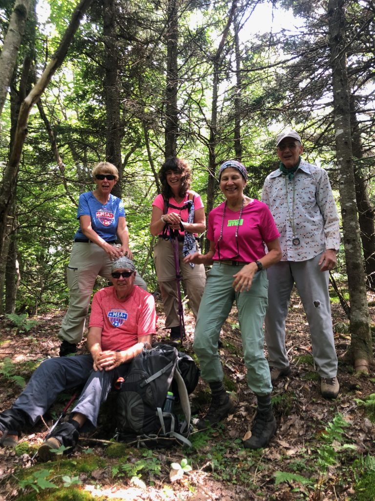
At 9:30 AM, Greg Sipp, Cynthia Snow, Carol Szatko, with Bob and Nancy Buckley from Northville, tramped up Jimmy Creek for a few miles. We hopped rocks on the raging creek several times to avoid hiking on steep embankments that cramped the creek corridor. In her enthusiasm for creek crossings, Carol decided on an unannounced swim, slipping off a rock into a pool of cold water. The day-pack broke her reluctant, graceful plunge into the stream. Shocked, and newly refreshed with wet pants, Carol was sufficiently invigorated to press forward into the deep forest.
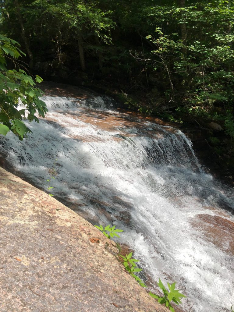
For nearly a mile, Jimmy Creek wends and plummets through rocky chasms, interrupted by small cataracts. The last waterfall/slide is the most impressive. The accompanying photo is an injustice to the size of the falls, since only half of its length was captured on film.
Eventually, we departed the stream to press forward toward the Dunham Mt. massive, one mile distant. The woods were fairly open, the climb moderate, and with Greg’s 87 satellites keeping my compass-bearing honest, we were on course for an adventure unimagined, as well as unintended.
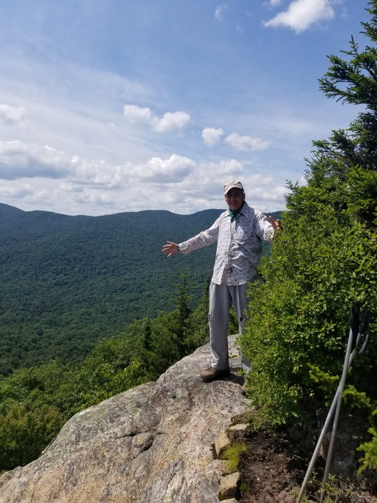
Our direct southern route to the summit knob (2,560 ft.) was plotted to avoid a long hike and to save “time.” The final approach to the knob would be the steepest, and as it turned out, time consuming. Numerous large cliff bands choked with conifers blocked our final ascent. We pressed forward, our circuitous route upwards and sideways, looking for chutes to squeeze our bodies. Grabbing at conifer limbs or roots, feeling for secure foot placement, we inched our way upward. The extremely steep embankment with rock clefts prevented retreat. Committed, and determined with stretched limbs, aching muscles, we finally navigated to a sizeable rock ledge, suitable for a sitting respite. The knob was now a several hundred feet gentle walk from this large scenic outlook.
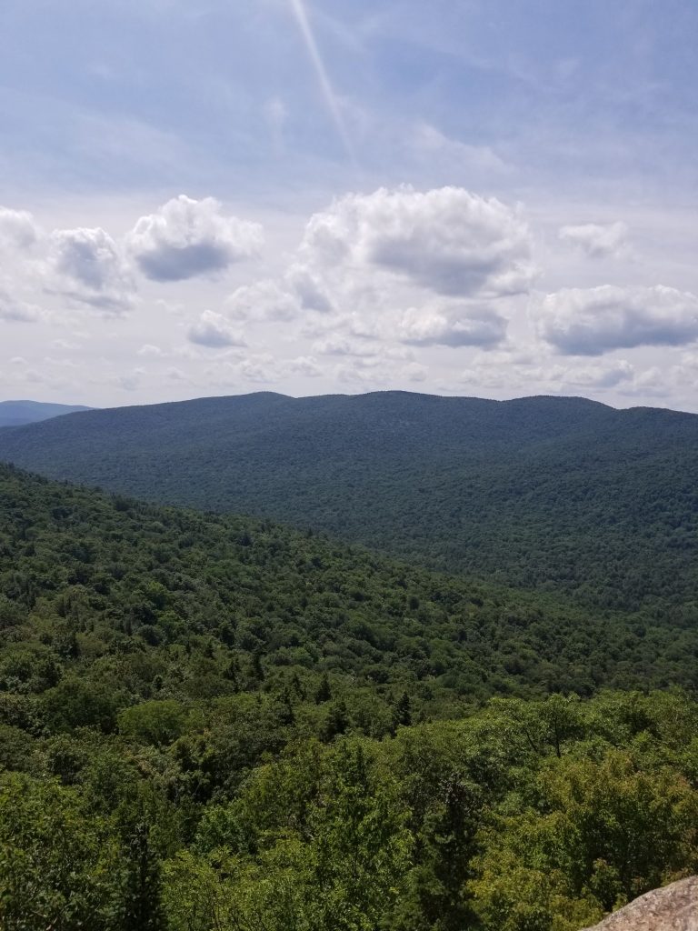
The view was outstanding. The Sacandaga West Branch, Three Ponds Mt., Vly Mt., Sugarloaf Mt., Wallface Mt., Dugway Mt. and sundry smaller peaks dominated the mountainous landscape.
Now 3 PM, it was time to leave. It was impossible to return by the steep route up, thus we marched north toward Orrey Mt., justifying westward to intersect Jimmy Creek. Upon finding the creek, we exited out, and discovered an old non-maintained road a short distance from the waterfalls. This we followed out to the vehicles, arriving at 6:30 PM. We had bushwhacked 10 miles. Guess I was slightly off with the mileage.